
What is recorded here
In tillage. An aerial photograph (GB89.T.20) shows cropmark of a large, incomplete curvilinear enclosure (diam. c. 100m) defined by a fosse. The enclosure is bisected by a modern trackway leading to a farm.
Compiled by: Dr. Gillian Barrett for the Archaeological Survey of Ireland
Date of upload: 1 May 2012
The monument record does not grant public access. Check the route and ask the landowner before entering private land.
- What survives
- Recorded monument
Places near here
 Enclosure in Grange (fassadinin By.)Enclosure · 990 yd
 Concentric enclosure in ParksgroveConcentric enclosure · 1181 yd
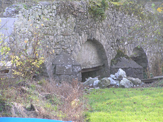 Grange Bridgebridge · 1287 yd
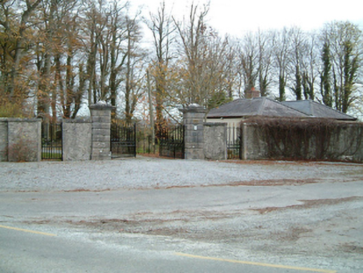 Grange Housegates/railings/walls · 1307 yd
 Ballyragget Cas.Castle, tower house · 1.5 mi
 Anker's IslandIsland · 2.6 mi
 Graveyard in SraleaghGraveyard · 2.8 mi
 Freshford LoopWalking route · 3.8 mi
 The PondsForest · 3.8 mi
 Brown's WoodWood · 4.3 mi
 DelaneyMemorial · 8.1 mi
Other information
Photo: Credit not shown in the picture search · Rights wording not checked; contact us if this picture should be removed