
What is recorded here
On the floor of the valley of the River Nore, in rolling grassland. Depicted as a diamond-shaped enclosure (dims. c. 30m N-S; c. 22m E-W) on the 1st (1839) ed. OS 6-inch map and not indicated on the 1900 revision which shows a rectangular tree plantation (dims. c. 74m N-S; c. 100m E-W) immediately NW of the location of the enclosure. Both the enclosure and plantation field are now only visible as cropmarks (Digitalglobe satellite imagery, viewed 31 January 2018). The enclosure (diam. c. 25m), is circular and is enclosed by a berm (Wth c. 26-32m) and a much larger outer enclosure (diam. c. 90m), also visible as a cropmark (ASIAP (274) 23-5, 2 December 2001; Digitalglobe satellite imagery, viewed 31 January 2018). Another large roughly circular enclosure (KK009-091----) is visible as a cropmark c. 125m to the W.
Compiled by: Jean Farrelly
Date of upload: 31 January 2018
A local fairy fort (ringfort/rath); wider significance not recorded.
The monument record does not grant public access. Check the route and ask the landowner before entering private land.
- What survives
- Recorded monument
Places near here
 Enclosure in Grange (fassadinin By.)Enclosure · 286 yd
 Grange Ringfort (rath)Archaeological place · 612 yd
 Grangemaccomb Church (in ruins)Church · 1103 yd
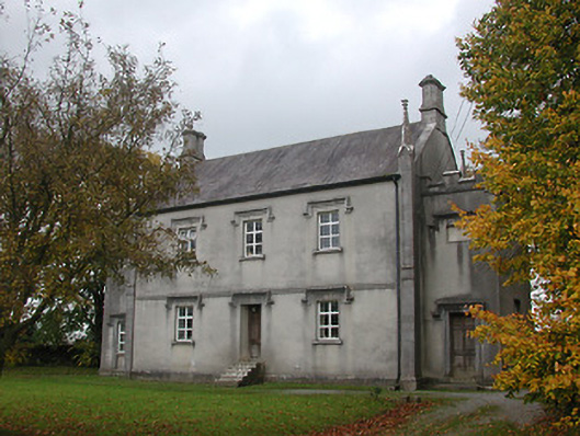 Ballyragget National Schoolschool · 1220 yd
 Ballyragget Cas.Castle, tower house · 1573 yd
 Donaghmore WellSpring · 1.5 mi
 Moat Castle (site of)Archaeological place · 1.8 mi
 Graveyard in SraleaghGraveyard · 2.2 mi
 Anker's IslandIsland · 2.4 mi
 Emma Jane Browne-ClaytonMemorial · 3.7 mi
 Red horse-chestnutRed horse-chestnut · 3.7 mi
 Freshford LoopWalking route · 4.3 mi
Other information
Photo: Credit not shown in the picture search · Rights wording not checked; contact us if this picture should be removed