
What is recorded here
In tillage. Visible as large cropmark enclosure on oblique aerial photograph (ASIAP (113) 24, ASIAP (113) 23) taken by Mick Moore 22 July 2000. The cropmark is also clearly visible on Google Earth (imagery date 14 July 2018), identified and reported by Simon Dowling. It appears to be an irregular enclosure (dims. c. 60m NE-SW; c. 54m E-W) with an outer enclosure (dims. c. 65m N-S; c. 70m E-W). The N enclosing element is not visible as there is different vegetation in this area which appears to be marshy scrub. The inner and outer enclosing elements are not concentric, varying in distance apart from c.6-14m. Two cropmarks run E, SE from the E and SE quadrant of the outer enclosing element, running c. 20m and c. 40m respectively to an outer curving cropmark arcing from NE-S and possibly part of a related field system.
See attached Google Earth image (imagery date 14 July 2018)
Compiled by: Jean Farrelly
Date of upload: 22 January 2020
The monument record does not grant public access. Check the route and ask the landowner before entering private land.
- What survives
- Recorded monument
Places near here
 Enclosure in Garryduff (gowran By.)Enclosure · 795 yd
 Enclosure in RedbogEnclosure · 1296 yd
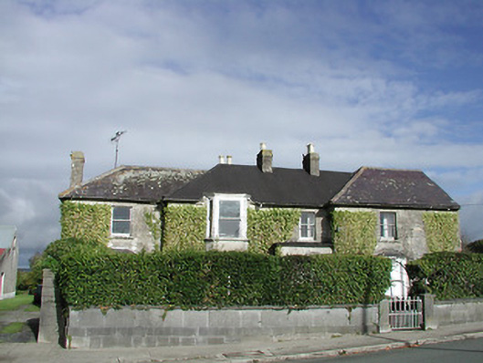 Gowran Househouse · 1480 yd
 Gowran Courthousecourt house · 1525 yd
 Castle (Site of)Castle, unclassified · 1600 yd
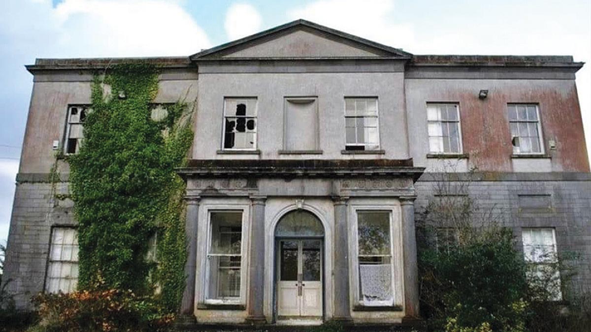 Bawn in Gowran DemesneBawn · 1.3 mi
 HawthornHawthorn · 3.1 mi
 Red BogForest · 3.3 mi
 St. Mogarra’s WellSpring · 4.3 mi
 Tullaherin Church and Round TowerVisitor information · 5.2 mi
 Kilbline GraveyardArchaeological place · 6.1 mi
 Time CapsuleMemorial · 6.1 mi
Other information
Photo: Credit not shown in the picture search · Rights wording not checked; contact us if this picture should be removed