
What is recorded here
From the National Monuments Service (Archaeological Survey of Ireland) record TS076-073
Places near here
Photo credits
- Maker not stated on source page, en.wikipedia.org
- Maker not stated on source page, commons.wikimedia.org
- Maker not stated on source page, uk.pinterest.com
- National Inventory of Architectural Heritage
- Maker not stated on source page, www.inkl.com
- Mike Searle, Wikimedia Commons · CC BY-SA 2.0
- Rockwell Rovers / Tipperary GAA club profile; individual photographer not named, tipperary.gaa.ie
 Fairy fort / earthen ringfort in RathardFairy fort / earthen ringfort · 1603 yd
Explorer Tom Fairy fort / earthen ringfort in Rathard smells like wet dirt, old nettles, and the faint ghost of a bad decision from…
 Earthwork in Caddlestown,springfield (knockgraffon Par.)Earthwork · 1.1 mi
Explorer Tom Caddlestown has an earthwork that bragged about surviving storms but mostly just survived being forgotten by the…
 Mortlestown GraveyardGraveyard · 1.4 mi
Explorer Tom Mortlestown Graveyard in County Tipperary would bring a bottle of very old wine and a story about a ghost that only…
 Castle Coyne (in ruins)Castle, tower house · 1.5 mi
Explorer Tom Castle Coyne has very strong opinions about the road leading to it, thinking it’s too narrow for its own dignity. It’s…
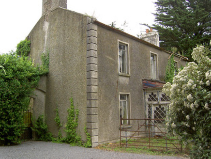 Shanballyard HouseHouse · 1.6 mi
Explorer Tom Shanballyard House is modest in size but surrounded by farm buildings that are still working hard today. It has a…
 Westgrove HouseHouse · 1.6 mi
Explorer Tom Westgrove House in Donegal is whispering tales about a hidden tunnel that leads straight to the pub down the road. The…
 Church in DecoyChurch · 1.7 mi
Explorer Tom Church in Decoy is known as Mocuana’s Church, which sounds like a name invented by someone who’d had three pints too…
 Outrath LodgeRectory/glebe/vicarage/curate's house · 1.9 mi
Explorer Tom Outrath Lodge has a bird that refuses to leave the chimney, probably because it thinks it’s got a permanent job there.…
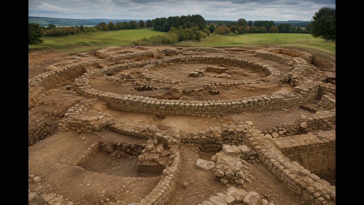 Earthwork in Moorstown (inishlounaght Par.)Earthwork · 2.0 mi
Explorer Tom Earthwork in Moorstown would describe the 1800s to a teenager by saying 'we dug some holes and then forgot what they…
 Ballinattin HouseHouse · 2.0 mi
Explorer Tom Ballinattin House in Ballinattin Upper has had so many former names it’s lost its own identity completely. It’s a…
 Moorstown CastleCastle · 2.1 mi
Explorer Tom Moorstown Castle in County Tipperary perches on a rock base that looks like it was chosen specifically to make hikers…
 Páirc na nGael, Rockwell RoversGAA ground · 2.3 mi
More archaeology and monuments in County Tipperary · All of County Tipperary

What do you know about this place?Tap to add a comment or ask a question