What is recorded here
Situated in flat summit of ridge in pasture, in undulating terrain. Site not depicted on either 1st (1843) or 2nd (1952-3) ed. OS 6-inch map. Appeared as an oval cropmark on aerial photograph (OS 0367/8). No visible trace of site above ground.
From the National Monuments Service (Archaeological Survey of Ireland) record TN041-038
This remains an important historical record, but the official description says the monument is no longer visible or has been destroyed. The monument record does not grant public access. Check the route and ask the landowner before entering private land.
- What survives
- No visible remains or recorded as destroyed
Places near here
Photo credits
- National Inventory of Architectural Heritage
- Christopher2010xxx, Wikimedia Commons · CC BY-SA 3.0
- Mike Searle, Wikimedia Commons · CC BY-SA 2.0
- Mike Searle, Geograph · CC BY-SA 2.0
- Lár na Páirce Museum, Wikimedia Commons · CC BY 2.0
- Willow, Wikimedia Commons · CC BY 2.5
- Steven Brown, Geograph · Creative Commons Attribution-ShareAlike 2.0
 ArdeenHouse · 125 yd
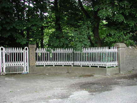 Glengarriff HouseGates/railings/walls · 261 yd
 Thurles Railway StationRailway station · 579 yd
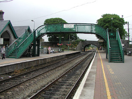 Thurles Railway StationFoot bridge · 596 yd
 bridge624 yd
 station master's house643 yd
 Black CastleCastle, tower house · 1140 yd
 Black CastleCastle · 1142 yd
 Lár na PáirceMuseum · 1271 yd
 European ash1471 ydEuropean ash3.5 mi
 Grave YardGraveyard · 8.5 mi
More archaeology and monuments in County Tipperary · All of County Tipperary
What do you know about this place?