
What is recorded here
In pasture, on break in S-facing slope. Oval area (27.5m N-S; 17.1m E-W) enclosed by earthen bank (int. H 0.75m; ext. H 1.3m) W->NE, and defined by scarped edge (H 1.4m; Wth 1.7m) NE->W, with an external fosse (Wth 1.5m) WNW->ENE and SSE->SSW, and a counterscarp bank (int. H 0.7m; ext. H 0.2m) along outer edge of fosse at NE. Presence of fosse ENE->SSE could not be determined due to overgrowth and dumping of organic debris. Scarp highest ENE->SSE but also where covered by dense overgrowth. Field boundaries abut scarp at ENE and SSE. Interior level and under pasture. Bushes and whitethorn trees grow along bank.
Compiled by: Denis Power
Date of upload: 26 August 2011
The monument record does not grant public access. Check the route and ask the landowner before entering private land.
- What survives
- Recorded monument
Places near here
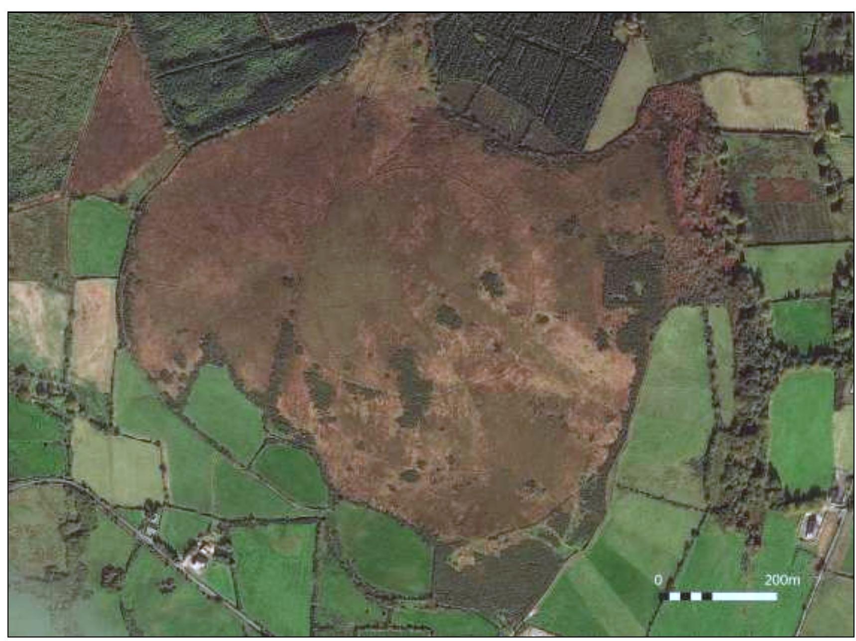 Hillfort in Ballylin (shanid By., Ardagh Ed)Hillfort · 677 yd
 Burial mound in Ballylin (shanid By., Ardagh Ed)Burial mound · 1036 yd
 Dunganville Bridgebridge · 1731 yd
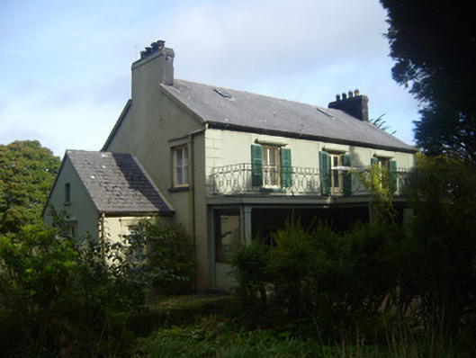 Glenastar Lodgehunting/fishing lodge · 1.1 mi
 CahermoyleCastle, unclassified · 2.2 mi
 St. Luke's WellSpring · 2.4 mi
 Castle (in ruins)Castle, tower house · 2.6 mi
 Limerick GreenwayWalking route · 3.4 mi
 St. Kieran's WellSpring · 4.1 mi
 Sugar HillMountain / peak · 5.1 mi
 Prospect HillMountain / peak · 7.5 mi
 Lawson's CypressLawson's Cypress · 7.5 mi
Other information
Photo: Credit not shown in the picture search · Rights wording not checked; contact us if this picture should be removed