
What is recorded here
Single-arch bridge, erected c. 1820, carrying road over River Daar. Rubble limestone walls with rusticated cut stone to plinth. Rubble stone parapet walls having cut stone copings.
This simple road bridge fulfils an important technical function and is a good example of engineering skill at the time it was built. The stonework is attractive and it is an important piece of architectural heritage in the area.
This does not grant access. Most recorded buildings are privately owned; view them only from public ground unless the owner allows entry.
Places near here
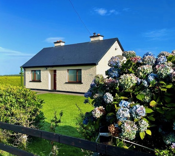 Dunganville- HachuredFairy fort / earthen ringfort · 113 yd
 EnclosureEnclosure, large enclosure · 988 yd
 post boxpost box · 1386 yd
 MillMill, unclassified · 1386 yd
 CahermoyleCastle, unclassified · 2.1 mi
 St. Luke's WellSpring · 2.4 mi
 Templars Castle (in ruins)Castle, Anglo-Norman masonry castle · 2.7 mi
 Limerick GreenwayWalking route · 3.1 mi
 St. Kieran's WellSpring · 3.9 mi
 Sugar HillMountain / peak · 4.8 mi
 Lawson's CypressLawson's Cypress · 7.9 mi
 Barnagh HillMountain / peak · 8.2 mi
Other information
Photo: National Inventory of Architectural Heritage · Website use allowed for educational or private purposes with source credit