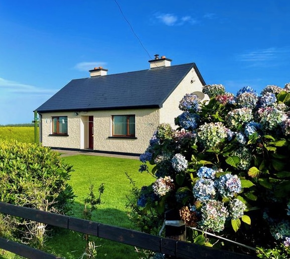
What is recorded here
In pasture, atop NE edge of steep-sided valley of River Daar. Roughly circular area (69m N-S; 67m E-W) enclosed by substantial earthen bank (int. H 2.7m; ext. H c. 5m) NNE->S, defined by top edge of step incline S->W, and enclosed by low earthen bank (int. H 0.35m; ext. H 2.95m) W->NNE (see plan Westropp 1916-17, plate IV). Deep external fosse (Wth 2.5m; D 2.35m) W->S is covered by dense overgrowth. Gap in bank at W where material recently dumped into fosse to create causeway (Wth 8.6m). Outer bank, indicated on 1923 OS 6-inch map W->E, has been removed and replaced by a farm trackway. Level interior under pasture. In NE quadrant is roughly L-shaped indistinct rise; according to Westropp (ibid., 25) 'the peasantry believe that there are caves under these, but that they were never open in living memory'; this probably indicates presence of a Man-made underground passage.
Compiled by: Denis Power
Date of upload: 26 August 2011
This remains an important historical record, but the official description says the monument is no longer visible or has been destroyed. The monument record does not grant public access. Check the route and ask the landowner before entering private land.
- What survives
- No visible remains or recorded as destroyed
Places near here
 Dunganville Bridgebridge · 113 yd
 EnclosureEnclosure, large enclosure · 937 yd
 Fulacht fia in Commons (shanid By.)Fulacht fia · 976 yd
 post boxpost box · 1441 yd
 CahermoyleCastle, unclassified · 2.1 mi
 St. Luke's WellSpring · 2.4 mi
 Templars Castle (in ruins)Castle, Anglo-Norman masonry castle · 2.8 mi
 Limerick GreenwayWalking route · 3.1 mi
 St. Kieran's WellSpring · 3.9 mi
 Sugar HillMountain / peak · 4.8 mi
 Lawson's CypressLawson's Cypress · 7.9 mi
 Barnagh HillMountain / peak · 8.3 mi
Other information
Photo: Credit not shown in the picture search · Rights wording not checked; contact us if this picture should be removed