What is recorded here
Fairy fort in Glenville, County Limerick: a 36 m earthen ring on a low wooded rise, its scarped edge still standing nearly three metres high beside the stream. The bank rises highest where water skirts it, as if the fort leaned into the flood rather than resisting it. A short stone-and-earth ridge crosses the terrace like a threshold, separating the shaded interior from the narrow road that leads toward the church and graveyard. Cattle have worn part of the edge away, but the shape remains clear enough to suggest people once drew a line between the living world and the hidden one.
In woodland, atop low rise bounded to W and S by stream. A narrow road immediately to E leads to church and graveyard (LI028-09001- and 02-) c. 70m to NE. Roughly circular area (c. 36m N-S) defined by scarped edge (H 2.95m; Wth 6m) which has been eroded at ENE by cattle. Along base of scarp is narrow terrace (Wth 2.2m), which widens to 6m at S. Terrace is surrounded by earthen bank (int. H 0.6m; ext. H 3.6m), external height of which is greatest where river skirts it at W and S. Short earth-and-stone bank (L c. 5m; Wth c. 1m; H 1.2m) extends roughly NNE-SSW across terrace from base of scarp at SSE. Interior level and covered with deciduous trees.
Compiled by: Denis Power
Date of upload: 26 August 2011
The monument record does not grant public access. Check the route and ask the landowner before entering private land.
- What survives
- Recorded monument
Places near here
 Grave YardGraveyard · 138 yd
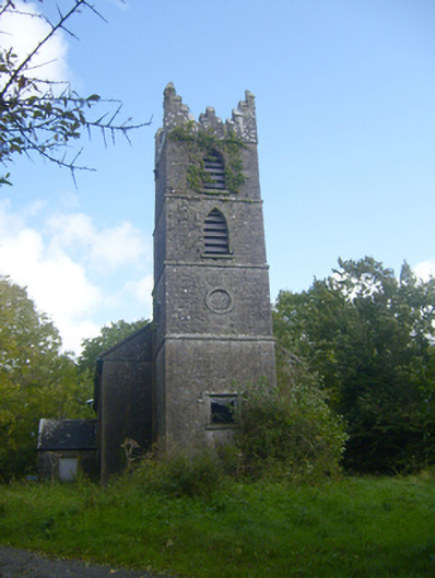 Rathronan Churchchurch/chapel · 146 yd
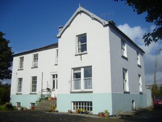 Rathronan Houserectory/glebe/vicarage/curate's house · 353 yd
 Enclosure in Ballylin (shanid By., Ardagh Ed)Enclosure · 506 yd
 CahermoyleCastle, unclassified · 1712 yd
 St. Luke's WellSpring · 1.2 mi
 Castle (in ruins)Castle, tower house · 1.5 mi
 St. Kieran's WellSpring · 2.9 mi
 Limerick GreenwayWalking route · 4.5 mi
 European ashEuropean ash · 5.1 mi
 Sugar HillMountain / peak · 6.2 mi
 Monterey CypressMonterey Cypress · 7.6 mi