What is recorded here
Church of Ireland church built on site of medieval church (LI028-096001-) of Rathronan stands in N quadrant of rectangular shaped graveyard (approx. dims. 48m N-S x 52m E-W). In 1840 the Ordnance Survey Letters recorded that the 'ancient Church of Rathronan has long since disappeared and its site is occupied by a modern Protestant Church which was erected about fourteen years ago [c. 1826]; but the original Church did not survive to this period, for the one which was then pulled down was not many half centuries old. There is a large graveyard attached to the modern church, but not much used at present as a cemetery' (OSL, 25).
Church of Ireland church built on site of medieval church (LI028-096001-) of Rathronan stands in N quadrant of rectangular shaped graveyard (approx. dims. 48m N-S x 52m E-W). In 1840 the Ordnance Survey Letters recorded that the 'ancient Church of Rathronan has long since disappeared and its site is occupied by a modern Protestant Church which was erected about fourteen years ago [c. 1826]; but the original…
From the National Monuments Service (Archaeological Survey of Ireland) record LI028-096002
The monument record does not grant public access. Check the route and ask the landowner before entering private land.
- What survives
- Recorded monument
Places near here
Photo credits
- National Inventory of Architectural Heritage
- Created by Kglavin Modified Aug 2007 by Mike Christie, Wikimedia Commons · CC BY-SA 3.0
- dougf, Geograph · CC BY-SA 2.0
- Willow, Wikimedia Commons · CC BY 2.5
- Vadim Manuylov, Wikimedia Commons · CC BY-SA 3.0
- A.-K. D., Wikimedia Commons · CC BY-SA 4.0
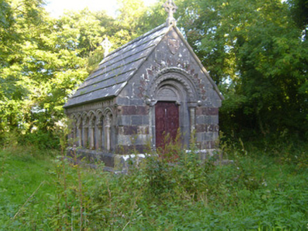 Rathronan ChurchMausoleum · 11 yd
 Rathronan ChurchMausoleum · 17 yd
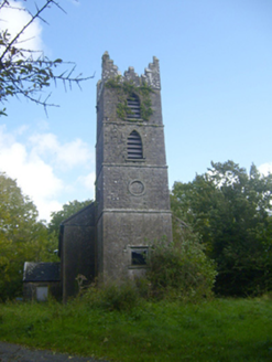 Rathronan ChurchChurch/chapel · 24 yd
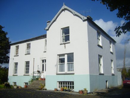 Rathronan HouseRectory/glebe/vicarage/curate's house · 233 ydEnclosure in Ballylin (shanid By., Ardagh Ed)Enclosure · 645 yd
 Ardagh FortArchaeological place · 1668 ydSt. Luke's WellSpring · 1.1 mi
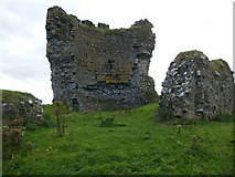 Shanid CastleCastle · 3.7 mi
 Shanid Castle (in ruins)Castle, Anglo-Norman masonry castle · 3.7 mi
 European ash5.0 mi
 Monterey Cypress7.6 mi
 Saint Ite's WellSpring · 8.6 mi
More archaeology and monuments in County Limerick · All of County Limerick
What do you know about this place?