
What is recorded here
In pasture, on steep E-facing slope. Monument, depicted on 1923 OS 6-inch map as circular enclosure (diam. c. 20m), has been levelled. No trace of monument evident when inspected. Depiction of site on 1841 OS 6-inch map as circular feature planted with trees suggests it may not be an ancient feature.
Compiled by: Denis Power
Date of upload: 26 August 2011
The monument record does not grant public access. Check the route and ask the landowner before entering private land.
- What survives
- Recorded monument
Places near here
 Grave YardGraveyard · 645 yd
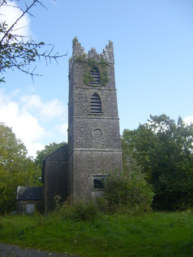 Rathronan Churchchurch/chapel · 650 yd
 Burial mound in Ballylin (shanid By., Ardagh Ed)Burial mound · 659 yd
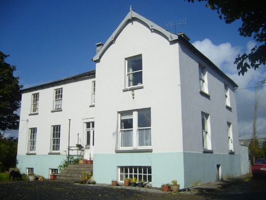 Rathronan Houserectory/glebe/vicarage/curate's house · 842 yd
 CahermoyleCastle, unclassified · 1.2 mi
 St. Luke's WellSpring · 1.5 mi
 Castle (in ruins)Castle, tower house · 1.7 mi
 St. Kieran's WellSpring · 3.2 mi
 Limerick GreenwayWalking route · 4.2 mi
 Sugar HillMountain / peak · 5.9 mi
 Monterey CypressMonterey Cypress · 7.6 mi
 Prospect HillMountain / peak · 7.9 mi
Other information
Photo: Credit not shown in the picture search · Rights wording not checked; contact us if this picture should be removed