
What is recorded here
In rough ground dominated by gorse and bracken on the E slope of Ballylin Hill with views to the NE, E and SE. The external rampart of a hillfort (LI028-085----) lies 200m tp W. The site is not depicted on the 1840 ed. OSi 6-inch map and is not depicted on the 1897 ed. OSi 25-inch map. The site is not visible on the OSi orthoimage taken 2005-12. Not visible on Digital Globe orthoimages taken 2011-2013. Identified by Jerry McMahon of Ardagh (member of the Newcastle Historical Society) in 1986 when the mound was described having been discovered after a gorse fire on the hillside (pers. comm.). Subsequently inspected by the ASI in 1986 and described as ‘burial mound or barrow’. The location of the site is visible on Google Earth orthoimages taken 20/10/2010 and 08/04/2015.
See attached location map prepared by Jerry McMahon and Google Earth orthoimages
Compiled by: Edmond O’Donovan
Date of upload: 24 September 2020
The monument record does not grant public access. Check the route and ask the landowner before entering private land.
- What survives
- Recorded monument
Places near here
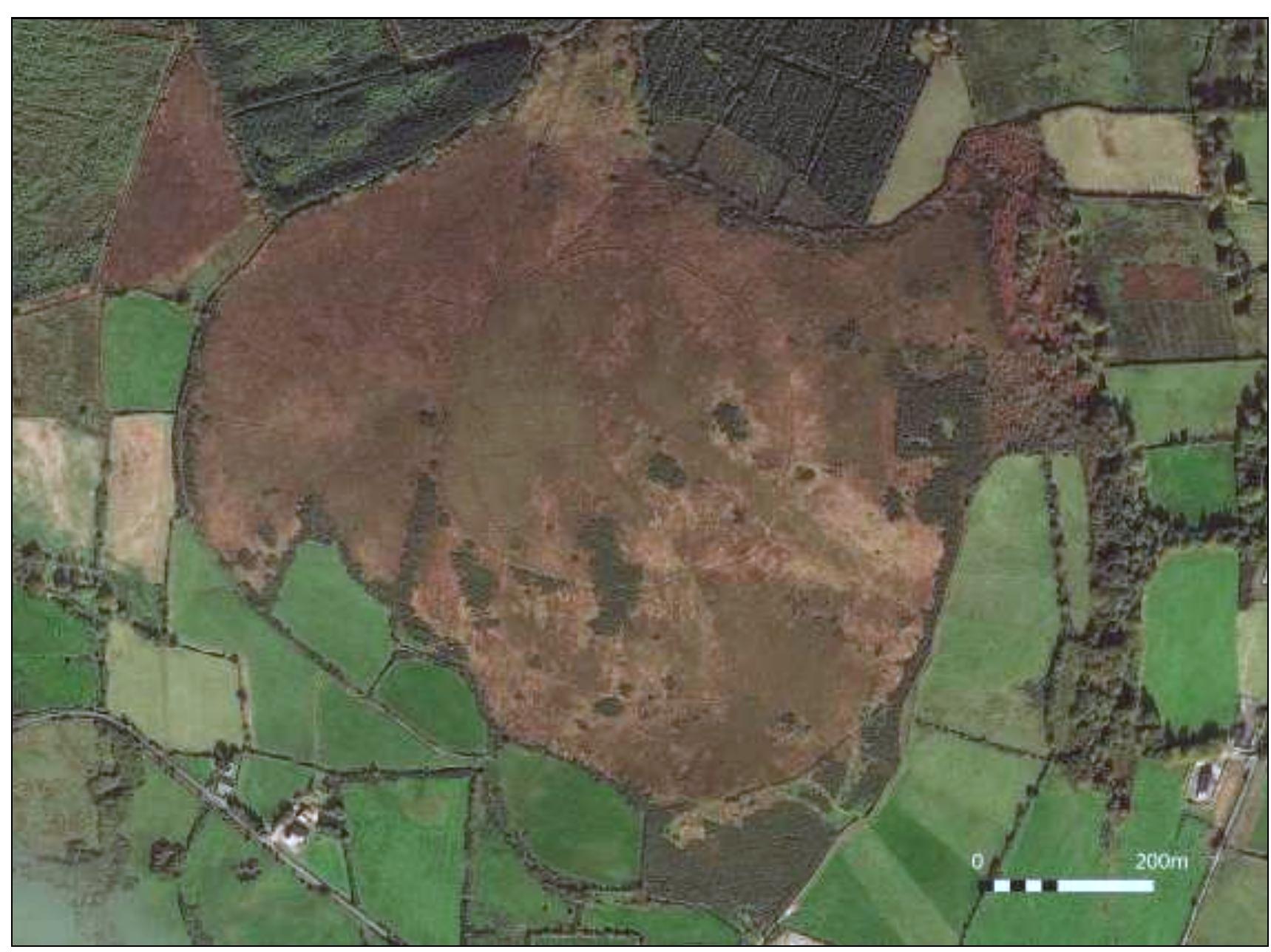 Hillfort in Ballylin (shanid By., Ardagh Ed)Hillfort · 385 yd
 Enclosure in Ballylin (shanid By., Ardagh Ed)Enclosure · 891 yd
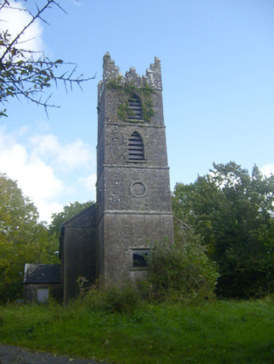 Rathronan Churchchurch/chapel · 1279 yd
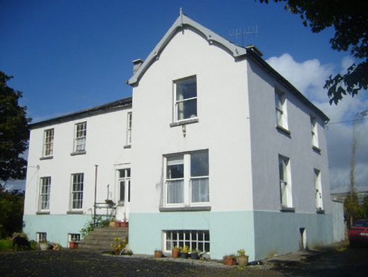 Rathronan Houserectory/glebe/vicarage/curate's house · 1444 yd
 CahermoyleCastle, unclassified · 1.6 mi
 St. Luke's WellSpring · 1.9 mi
 Castle (in ruins)Castle, tower house · 2.0 mi
 St. Kieran's WellSpring · 3.6 mi
 Limerick GreenwayWalking route · 4.0 mi
 Sugar HillMountain / peak · 5.6 mi
 Monterey CypressMonterey Cypress · 7.5 mi
 Prospect HillMountain / peak · 7.7 mi
Other information
Photo: Credit not shown in the picture search · Rights wording not checked; contact us if this picture should be removed