
What is recorded here
In pasture, atop low rise. Monument, depicted on 1923 OS 6-inch map as roughly D-shaped area defined on straight W side by field boundary (long axis N-S) and N->S by arc of bank, has been levelled. No trace of monument evident when inspected.
Compiled by: Denis Power
Date of upload: 26 August 2011
The monument record does not grant public access. Check the route and ask the landowner before entering private land.
- What survives
- Recorded monument
Places near here
 Fulacht fia in Commons (shanid By.)Fulacht fia · 215 yd
 Burial mound in Ballylin (shanid By., Ardagh Ed)Burial mound · 891 yd
 Dunganville Bridgebridge · 1172 yd
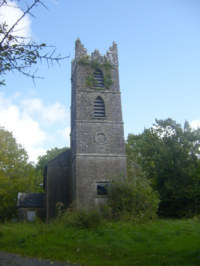 Rathronan Churchchurch/chapel · 1668 yd
 CahermoyleCastle, unclassified · 1.7 mi
 St. Luke's WellSpring · 1.9 mi
 Castle (in ruins)Castle, tower house · 2.4 mi
 St. Kieran's WellSpring · 3.6 mi
 Limerick GreenwayWalking route · 3.7 mi
 Sugar HillMountain / peak · 5.3 mi
 Monterey CypressMonterey Cypress · 8.1 mi
 Prospect HillMountain / peak · 8.1 mi
Other information
Photo: Credit not shown in the picture search · Rights wording not checked; contact us if this picture should be removed