
What is recorded here
From the National Monuments Service (Archaeological Survey of Ireland) record ME034-003
Places near here
Photo credits
- Maker not stated on source page, ru.wikipedia.org
- National Inventory of Architectural Heritage
- Maker not stated on source page, commons.wikimedia.org
- Maker not stated on source page, en.wikipedia.org
- Jonjobaker, Wikimedia Commons · CC BY-SA 4.0
- Maker not stated on source page, www.pinterest.com
- Dvcireland, Wikimedia Commons · CC BY-SA 4.0
- jwd, Geograph · CC BY-SA 2.0
- Maker not stated on source page, www.ireland.com
- C O'Flanagan, Geograph · CC BY-SA 2.0
- C O'Flanagan, Wikimedia Commons · CC BY-SA 2.0
 Enclosure in Herbertstown (duleek Upper By.)Enclosure · 715 yd
Explorer Tom Enclosure in Herbertstown has an irregular shape, perfect for surviving a zombie attack by simply confusing them about…
 Herbertstown HouseFarmyard complex · 1501 yd
Explorer Tom Herbertstown House is a farmyard complex that still thinks it’s the main event, even though the big house is largely…
 Graveyard in Tullog,herbertstown (duleek Upper By.)Graveyard · 1627 yd
Explorer Tom Graveyard in Tullog, Herbertstown holds the world record for being unfindable since 1682 when it went out of repair and…
 Enclosure in NaulEnclosure · 1.0 mi
Explorer Tom Enclosure in Naul is having a massive argument with that nearest tree about who gets the best light on this steep…
 Old Mill BridgeBridge · 1.0 mi
Explorer Tom Old Mill Bridge in Coolfores is a single-arch rubble stone bridge from 1850. It’s simple and sturdy. No fancy carvings…
 Fairy fort / earthen ringfort in NaulFairy fort / earthen ringfort · 1.1 mi
Explorer Tom Fairy fort / earthen ringfort in Naul thinks the local sheep are just here for the ambiance, not the actual history.…
 Naul BridgeBridge · 1.6 mi
Explorer Tom Naul Bridge spans the Delvin River and dates back to 1656 on maps! It’s seen empires rise and fall. The banks are…
 CastleCastle, unclassified · 1.6 mi
Explorer Tom Naul Castle is also known as the Black Castle because the Cruise family liked dramatic lighting in the 13th century. It…
 mill (water)1.7 mi
Explorer Tom A water mill in Westown built in 1720 that has been in ruins since 1934, which is a long time to be messy. The wind…
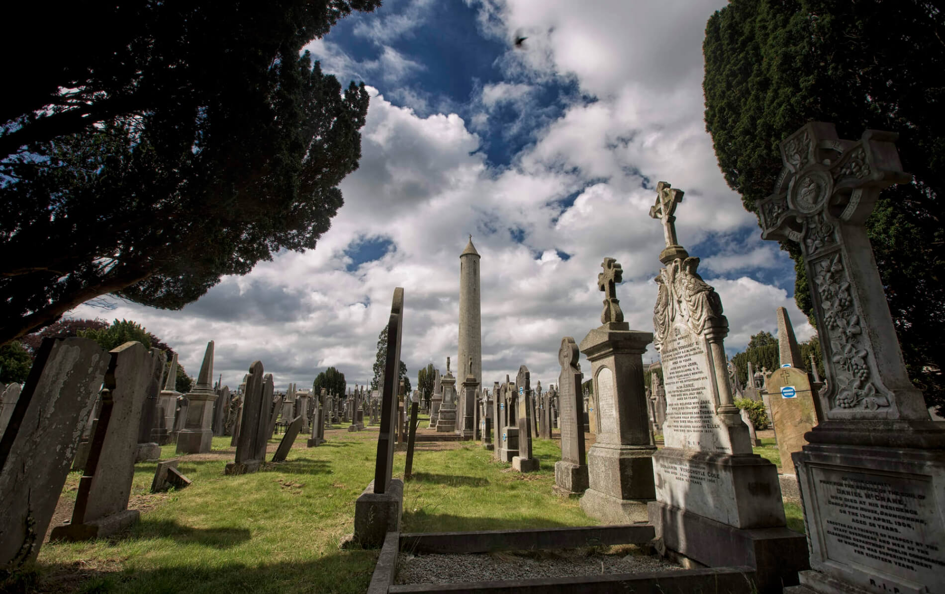 Naul GraveyardGraveyard · 1.7 mi
Explorer Tom Naul Graveyard would put 'Resting, Please Do Not Disturb' on its tombstone because it is genuinely tired of people…
 church/chapel1.7 mi
Explorer Tom Church or chapel in Naul is a ruin from 1710, sitting in a graveyard with no roof. Just battered stone walls staring at…
 Séamus EnnisStatue · 1.7 mi
Explorer Tom Séamus Ennis has a hidden treasure buried under his feet that is definitely a biscuit tin containing three stale…
More archaeology and monuments in County Meath · All of County Meath

What do you know about this place?Tap to add a comment or ask a question