What is recorded here
Situated on a steep S-facing slope. The cropmark of a rectangular enclosure (dims c. 25m E-W; c. 23m N-S) defined by wide fosses (Wth c. 2-3m) that are convex in plan and with rounded corners was recorded with a drone-mounted camera by Ian Lennon on 24/07/2021. There is a pit (diam. c. 3m) inside the NW corner. The perimeter at S is very slight and is aligned with an unmapped E-W field drain that conforms with the fields mapped on the 1836 and 1908 editions of the OS 6-inch map. It is also visible on Google Earth (21/07/2021).
See the attached view from the N, courtesy of Ian Lennon
Compiled by: Michael Moore
Date of upload; 1 September 2021
The monument record does not grant public access. Check the route and ask the landowner before entering private land.
- What survives
- Recorded monument
Places near here
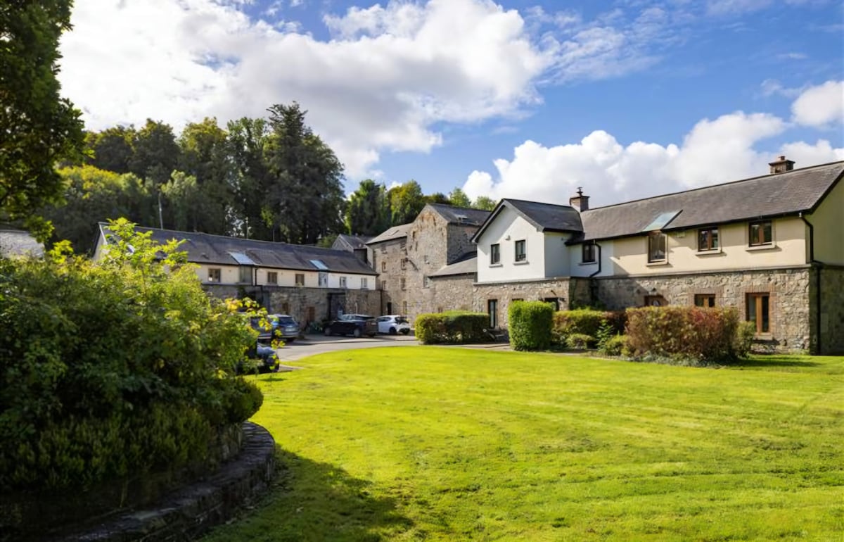 Enclosure in NaulEnclosure · 496 yd
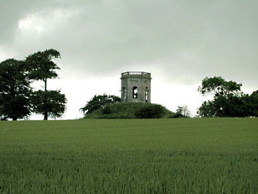 Herbertstown Housebelvedere, gazebo · 710 yd
 Tullog WoodForest · 1175 yd
 Naul Park HouseCastle, unclassified · 1200 yd
 Naul Bridgebridge · 1235 yd
 Bawn in NaulBawn · 1324 yd
 Lady WellHoly well · 1442 yd
 Seamus Ennis Cultural CentreMemorial · 1531 yd
 Bun-na-CnoicMemorial · 1.2 mi
 Naul HillMountain / peak · 1.5 mi
 FourknocksPassage tomb · 1.6 mi
 Ballshill PlantingForest · 1.7 mi