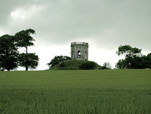
What is recorded here
Freestanding single-bay double-height belvedere or gazebo, built 1754, on a hexagonal plan. Now in ruins. Roof now missing. Limestone ashlar walls on limestone ashlar chamfered plinth with ogee-detailed cornice below balustraded parapet. Round-headed door opening (east) with broken threshold, cut-limestone lugged doorcase with ogee-detailed hood moulding on blind frieze. Round-headed window openings below cut-limestone panels. Interior in ruins. Set on mound in grounds originally shared with Herbertstown House.
A belvedere or gazebo 'erected [1754] by Richard Caddell otherwise Farrell [1728-1811]' (MacDowel Cosgrave 1908, 82) surviving as an interesting relic of the Herbertstown House estate with the architectural value of the composition confirmed by such attributes as the hexagonal plan form centred on a neo-Palladian doorcase; the construction in a blue-grey limestone demonstrating good quality workmanship; and the balustraded parapet now missing the urn finials captured in an early photograph housed in the Irish Architectural Archive [68/87-22]. The belvedere or gazebo occupies the summit of an artificial mound whose base was once circled by a ring of beech trees and, standing 550 feet above sea level, it was described as 'form[ing] a conspicuous landmark to mariners' despite its setting five miles inland from the from the Balbriggan coastline (Lewis 1837 II, 573). NOTE: The eighteenth-century Herbertstown House, annotated as "Harbertstown [of] Caddell Esqr" by Taylor and Skinner (1778, 42), was largely demolished and replaced (1820) by Richard O'Farrell Caddell (1779-1856). The new Herbertstown House was described as 'a modern structure...splendidly built with chiselled stone [and] costing £20,000... A portion of the old dwelling can still be seen at the back of the present "Big" House' (The Schools' Collection Volume 0685, 285). Herbertstown House was demolished by the Irish Land Commission but is remembered by the original architect's model (1820) housed in the Irish Architectural Archive [0098/005-].
This does not grant access. Most recorded buildings are privately owned; view them only from public ground unless the owner allows entry.
Places near here
 Tullog WoodForest · 1015 yd
 Enclosure in Herbertstown (duleek Upper By.)Enclosure · 1088 yd
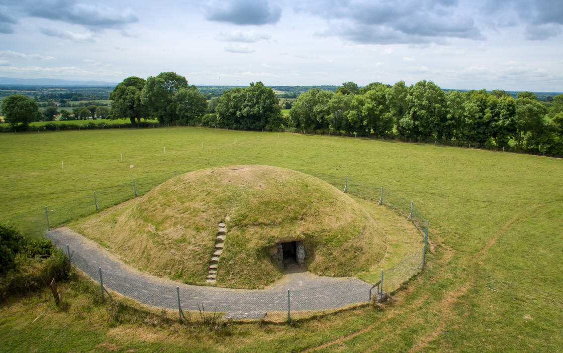 Four Knocks TombArchaeological place · 1577 yd
 Naul Park HouseCastle, unclassified · 1.0 mi
 Naul Bridgebridge · 1.1 mi
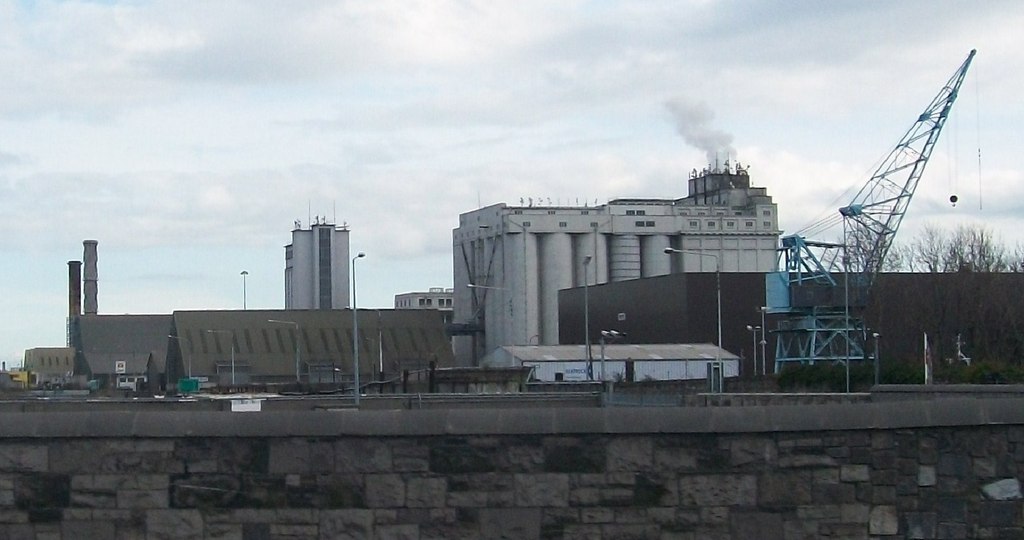 Flour Mill, Mill DamWater mill, unclassified · 1.1 mi
 NaulMemorial · 1.1 mi
 Bawn in NaulBawn · 1.1 mi
 Seamus Ennis Cultural CentreMemorial · 1.2 mi
 FourknocksPassage tomb · 1.3 mi
 Ballshill PlantingForest · 1.7 mi
 Naul HillMountain / peak · 1.8 mi
Other information
Photo: National Inventory of Architectural Heritage · Website use allowed for educational or private purposes with source credit