
What is recorded here
Located on a gentle SE-facing slope, with a small canalised SW-NE stream that forms the boundary with Co. Meath c. 80m to the SE. This is an unmapped circular grass-covered enclosure (diam. c. 25m N-S; c. 25m E-W) defined by a substantial earthen bank NW-E and a slighter feature elsewhere. The interior is occupied by N-S cultivation ridges. It is visible on AppleMaps is isible on MapGenie images from 1995 and Google Earth, and it was first reported by Jean Charles Caillére.
See the attached view from AppleMpas
Compiled by: Michael Moore
Date of upload: 12 July 2022
A local fairy fort (ringfort/rath); wider significance not recorded.
The monument record does not grant public access. Check the route and ask the landowner before entering private land.
- What survives
- Recorded monument
Places near here
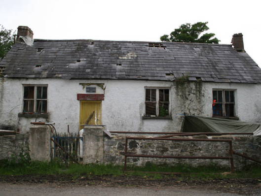 Garryross National Schoolschool · 439 yd
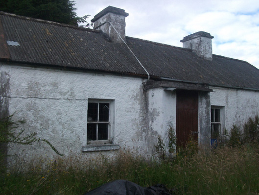 farm housefarm house · 1702 yd
 Fennor RockMountain / peak · 1.4 mi
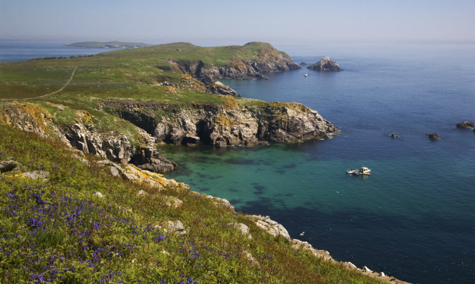 Crossafehin IslandsIslet · 1.5 mi
 Fort Frederick DemesneForest · 1.5 mi
 CastleCastle, ringwork · 1.6 mi
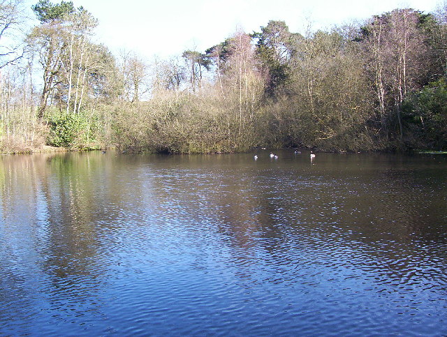 MoatFairy fort / earthen ringfort · 1.7 mi
 Fort Frederick IslandsIslet · 1.7 mi
 Fennor LowerMountain / peak · 1.8 mi
 Cave FortFairy fort / earthen ringfort · 2.2 mi
 Knockatemple WoodlandWood · 2.3 mi
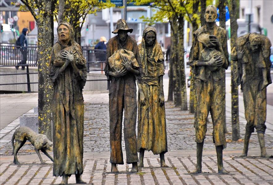 The Great FamineMemorial · 3.2 mi
Other information
Photo: Credit not shown in the picture search · Rights wording not checked; contact us if this picture should be removed