What is recorded here
Fairy fort / earthen ringfort in Fennor Lower is a circular grass-covered area just NW of a low ridge in an undulating landscape. People called it a fairy fort because the round bank and ditch still look like a hidden door into another world. Humans may have lived there, farmed around it or simply avoided it after dark. The earth remembers more than pride, and wonder is a better witness than certainty.
Situated just NW of a low ridge in an undulating landscape. This a circular grass-covered area (diam. 30m N-S; 29m E-W) defined by an earthen bank (Wth of base 3-5m; int. H 0.4-0.8m; ext. H 1.7m at N to 2.3m at S) with some bushes and an outer fosse (Wth of top 4.5-6.5m; Wth of base 3m at S; ext. D 0.3-0.5m), with the remains of an outer bank (at S: Wth of base 4m; ext. H 0.4m) E-SW. The original entrance (Wth of base 1.8m) and causeway (Wth of top 4.4m; H 0.9m) are at ENE. The interior had become overgrown by 2000 (OSAP).
The above description is derived from the published 'Archaeological Inventory of County Meath' (Dublin: Stationery Office, 1987). In certain instances the entries have been revised and updated in the light of recent research.
Compiled by: Michael Moore
Date of revision: 31 October 2018
The monument record does not grant public access. Check the route and ask the landowner before entering private land.
- What survives
- Recorded monument
Places near here
 Fennor RockMountain / peak · 952 yd
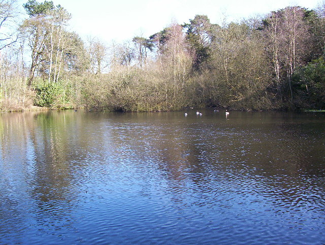 MoatFairy fort / earthen ringfort · 984 yd
 Fennor LowerMountain / peak · 1405 yd
 Enclosure in GarryrossEnclosure · 1.1 mi
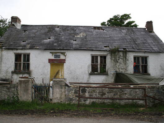 Garryross National Schoolschool · 1.3 mi
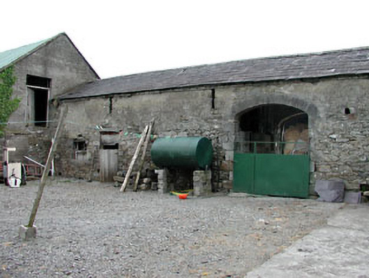 Liss Cottageoutbuilding · 1.5 mi
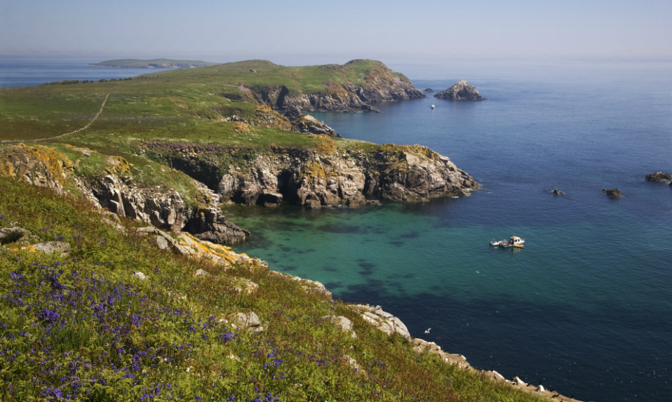 Crossafehin IslandsIslet · 2.1 mi
 Memorial CrossMemorial · 2.2 mi
 Fort Frederick IslandsIslet · 2.4 mi
 CastleCastle, ringwork · 2.4 mi
 Fort Frederick DemesneForest · 2.4 mi
 Site of Old CastleCastle, unclassified · 2.6 mi