What is recorded here
Situated on the summit of a high drumlin hill. Adjacent to the site at SW are the remains of an 18th-century church, thought to have been built on or close to the site of a medieval church (CV038-008003-; CV038-008002-). Raised subrectangular platform (H c. 4m; int. dims c. 42m NE-SW; c. 24m N-S) enclosed by two very substantial banks of earth and stone with wide, deep intermediate fosse. Foundations of a rectangular building (int. dims c. 11m NE-SW; c. 7m NW-SE) lie within the enclosed area in SW quadrant and those of a circular structure (int. diam. c. 6.5m) which Davies (1947a, 88) postulated was a gatehouse, occur at NE. At SW he identified the foundations of a second approximately circular structure (diam. c. 11m) which he interpreted as the remains of a tower. (CUCAP: AYS 34, AYS 35, AYS 36)
The above description is derived from the published 'Archaeological Inventory of County Cavan' (Dublin: Stationery Office, 1995).
Situated on the summit of a high drumlin hill. Adjacent to the site at SW are the remains of an 18th-century church, thought to have been built on or close to the site of a medieval church (CV038-008003-; CV038-008002-). Raised subrectangular platform (H c. 4m; int. dims c. 42m NE-SW; c. 24m N-S) enclosed by two very substantial banks of earth and stone with wide, deep intermediate fosse. Foundations of a…
From the National Monuments Service (Archaeological Survey of Ireland) record CV038-008001
The monument record does not grant public access. Check the route and ask the landowner before entering private land.
- What survives
- Recorded monument
Places near here
Photo credits
- National Inventory of Architectural Heritage
- Ian Rob, Wikimedia Commons · CC BY-SA 2.0
- Deadstar, Wikimedia Commons · CC BY-SA 4.0
- Kieran Campbell, Geograph · CC BY-SA 2.0
- Sitomon, Wikimedia Commons · CC BY-SA 2.0
- P Webb, Geograph · CC BY-SA 2.0
- Mike Searle, Geograph · CC BY-SA 2.0
- Maker named on the Wikimedia Commons picture page · CC BY-SA 2.5
- Richard Webb, Geograph · CC BY-SA 2.0
- Gavigan 01 at English Wikipedia, Wikimedia Commons · CC BY 2.5
- Colin Park, Geograph · CC BY-SA 2.0
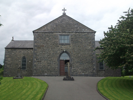 St Mary's Roman Catholic ChurchChurch/chapel · 643 yd
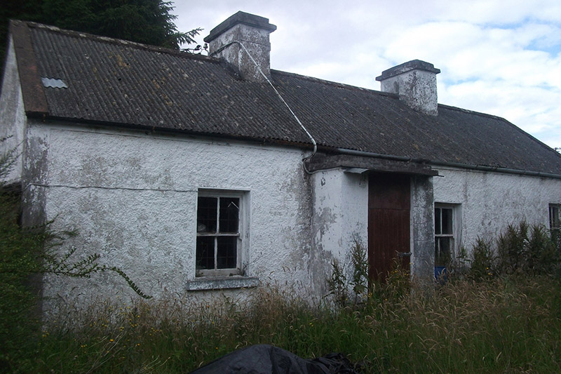 farm house1158 yd
.jpg/250px-Ballyjamesduff-Cavan_County_Museum_(geograph_7350383).jpg "Photo: Ian Rob, Wikimedia Commons · CC BY-SA 2.0") Cavan County MuseumMuseum · 3.0 mi
Cavan County MuseumMuseum · 3.0 mi Sheela-na-gig (present location) in Kilmore (castlerahan By., Ballyjamesduff Ed)Sheela-na-gig (present location) · 3.0 mi
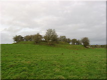 Fairy fort / earthen ringfort in Garrysallagh (o'reilly)Fairy fort / earthen ringfort · 3.0 mi
 European Yew4.3 mi
 Welcome to VirginiaVisitor information · 4.4 mi
 Ross CastleCastle, tower house · 4.7 mi
 Sessile Oak4.9 mi
 IslandMountain / peak · 5.0 mi
 MullaghmeenMountain / peak · 6.0 mi
 Mullaghmeen White WalkWalking route · 6.1 mi
More castles and forts in County Cavan · All of County Cavan
What do you know about this place?