What is recorded here
In fairly flat terrain in gently undulating pastureland. An enclosure (TS081-029001-) is located 30m to the NE. Enclosure levelled but visible as a slight flattened bank (Wth 6m; int. H 0.27m; ext. H 0.14m). A curving kink in the field boundary, running NW-SE, respects or incorporates the NW quadrant of the monument. The field boundary consists of an earthen bank with a stone revetting, surmounted by hedgerow.
Compiled by: Jean Farrelly
Date of upload: 07 January 2014
The monument record does not grant public access. Check the route and ask the landowner before entering private land.
- What survives
- Recorded monument
Places near here
 Enclosure in ScartanaEnclosure · 502 yd
 Water millWater mill, unclassified · 689 yd
 Enclosure in DerravoherEnclosure · 1378 yd
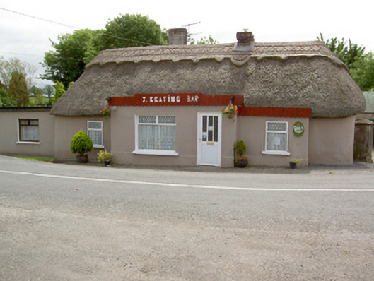 J. Keatinghouse · 1505 yd
 Garrycloher WoodForest · 1.1 mi
 CastleCastle, motte · 1.6 mi
 Knockane Castle ruinsCastle · 1.9 mi
 Cottagehill WoodForest · 2.4 mi
 Cahir CastleHeritage attraction · 3.2 miSiege of Cahir Castlesiege · 3.3 mi
 Woodcock HillMountain / peak · 3.3 mi
 Caher AbbeyHeritage attraction · 3.5 mi