What is recorded here
Broadly oval platform (56.4m ENE-WSW; 41.6m NNW-SSE) with a well-defined perimeter scarp (H 1.6m at N, 0.9m at S), immediately outside which are remnants of a fosse and outer bank.
The fosse (Wth 2.6m at N, 2m at S; ext. D 0.9m at N , 0.4m at S) is evident at S−NE, and is defined on its outer edge at S-NW by the outer bank (Wth c. 4m; int. H 0.4m; ext. H 0.6m at S). At N-E the fosse serves as a field boundary, merging with a field ditch that extends beyond the enclosure. It is probably that this section of the fosse was re-dug in the modern era; it is thickly planted with hawthorn trees. A straight field bank and field ditch on a roughly N-S axis, overlie the line of the fosse at E
The interior ground level is higher in the W half, with a gradual slope down from there to N, E and SE. There are low areas in the scarp, eroded by farm stock, at N and E and a broad slumped area of scarp at SE.
Compiled by: Jane O’Shaughnessy
Date of upload: 4 August 2023
The monument record does not grant public access. Check the route and ask the landowner before entering private land.
- What survives
- Recorded monument
Places near here
 Enclosure in CoolconEnclosure · 1028 yd
 Castle (in ruins)Castle, unclassified · 1084 yd
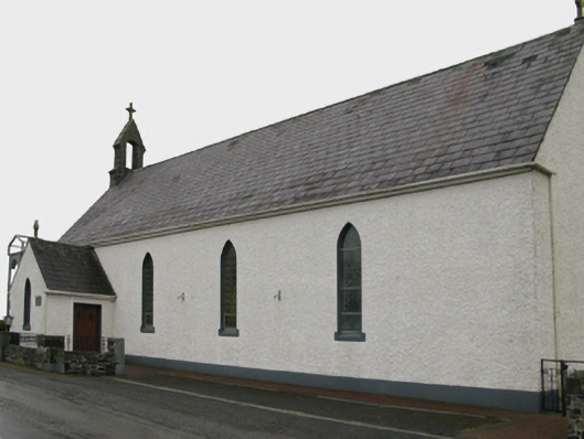 Saint Patrick's Catholic Churchchurch/chapel · 1422 yd
 IndicatedEnclosure · 1.0 mi
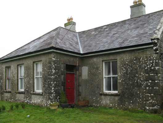 Ballyglass Housefarm house · 1.2 mi
 Castle in ruinsCastle, unclassified · 1.5 mi
 European YewEuropean Yew · 3.9 mi
 Geoffrey's WoodForest · 4.5 mi
 Mass RockNamed rock · 7.0 mi
 Ross Errilly FriaryHeritage attraction · 11 mi
 Hillfort in BelmontHillfort · 1.2 mi
 Site of FortFairy fort / earthen ringfort · 1.3 mi