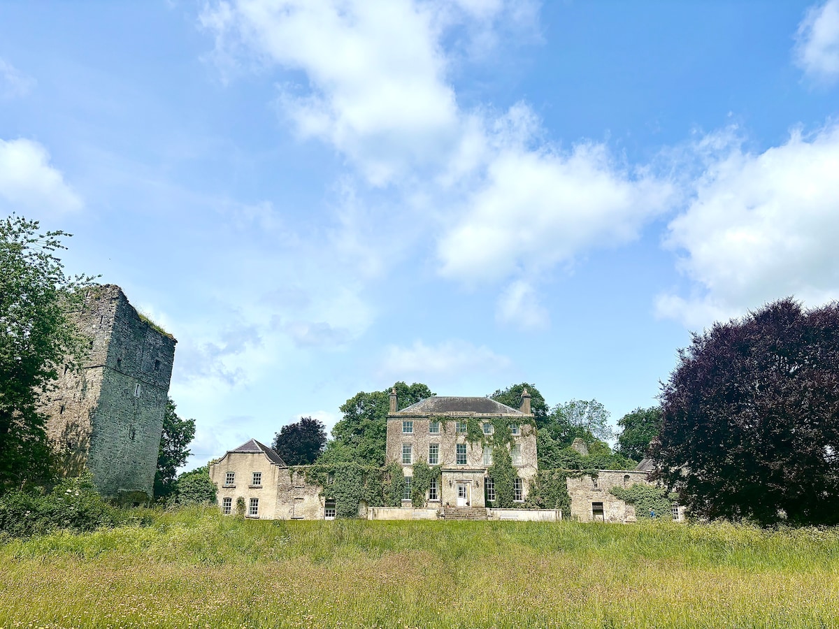
What is recorded here
The following description is derived from the published 'Archaeological Inventory of County Carlow' (Dublin: Stationery Office, 1993). In certain instances the entries have been revised and updated in the light of recent research.
Date of upload/revision: 17 July 2007
Aerial photograph (CUCAP ATA 22) shows cropmark of rectangular enclosure (max. dims. c. 40m NW-SE, 30m NE-SW), with line of pits crossing site. Linear cropmarks adjoining site. Nature of site unclear. No visible surface traces.
The monument record does not grant public access. Check the route and ask the landowner before entering private land.
- What survives
- Recorded monument
Places near here
 CrossCross, High cross · 249 yd
 Killogan GraveyardEcclesiastical enclosure · 251 yd
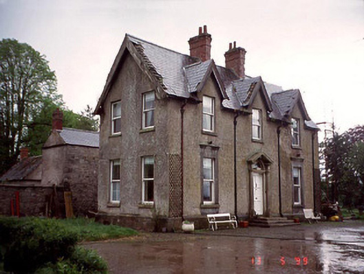 Garryhundon Househouse · 697 yd
 Graveyard in ClonmelshGraveyard · 909 yd
 Saint John's Church (Nurney)church/chapel · 1.3 mi
 Common LimeCommon Lime · 1.8 mi
 Graveyard in Tomard Lower (3 Detached Portions)Graveyard · 2.2 mi
 Pedunculate OakPedunculate Oak · 2.5 mi
 Graiguealug Castle in ruinsCastle, unclassified · 2.7 mi
 Black Castle (in ruins)Castle, tower house · 3.0 mi
 Carlow County MuseumMuseum · 4.7 mi
 The Columban WayVisitor information · 4.7 mi
Other information
Photo: Credit not shown in the picture search · Rights wording not checked; contact us if this picture should be removed