
What is recorded here
The following description is derived from the published 'Archaeological Inventory of County Carlow' (Dublin: Stationery Office, 1993). In certain instances the entries have been revised and updated in the light of recent research.
Date of revision: 13 April 2011
According to O'Donovan (OSL 1839, 16) probably site of 'Cill Eogain'. Present remains consist of oval uncultivated area, enclosed by fence. Within graveyard (CW012-025001) is plain, bossed solid-wheeled cross and base. Panel on shaft may have had interlace ornament. Cross is broken into fragments. (Harbison 1992, 94 (entry 111)). Aerial photograph (GB89.34) shows enclosure (CW012-025) of 'Killogan burial ground' (Barrett 1989).
Bibliography
Barrett, G.F. 'Early landscapes in County Carlow: an aerial perspective, in T. McGrath and T. O'Keefe (eds), County Carlow: History and Society, Geography Publications, Dublin.. Forthcoming 2008.
Barrett , G.F. (2002) 'Flights of discovery: archaeological air survey in Ireland, 1989-2000' in the Journal of Irish Archaeology, XI, 2002., pp. 1-30.
Harbison, P. 1992 The high crosses of Ireland; An iconographical and photographic survey 3 vols. Royal Irish Academy, Dublin; Dr. Rudolf Habelt GMBH, Bonn.
A local church or high cross; wider significance not recorded.
The monument record does not grant public access. Check the route and ask the landowner before entering private land.
- What survives
- Recorded monument
Places near here
 Killogan GraveyardEcclesiastical enclosure · 24 yd
 Enclosure in PowerstownEnclosure · 337 yd
 Graveyard in ClonmelshGraveyard · 687 yd
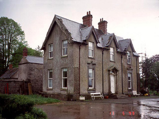 Garryhundon Househouse · 904 yd
 Milford Locklock · 1.4 mi
 Common LimeCommon Lime · 2.0 mi
 Graveyard in Tomard Lower (3 Detached Portions)Graveyard · 2.1 mi
 Graiguealug Castle in ruinsCastle, unclassified · 2.8 mi
 Clogrenan CastleCastle, tower house · 3.1 mi
 Sweet ChestnutSweet Chestnut · 4.0 mi
 Carlow County MuseumMuseum · 4.5 mi
 Carlow CastleRuined medieval castle · 4.5 mi
Other information
Photo: Credit not shown in the picture search · Rights wording not checked; contact us if this picture should be removed