
What is recorded here
Aerial photographs (GB89.O.34 and GB89.S.06) shows cropmark of a rectilinear enclosure (with entrance facing east) defined by a fosse. A short internal fosse is attached to outer fosse (Barrett 1989).
Bibliography
Barrett , G.F. (2002) 'Flights of discovery: archaeological air survey in Ireland, 1989-2000' in the Journal of Irish Archaeology, XI, 2002., pp. 1-30.
A local fairy fort (ringfort/rath); wider significance not recorded.
The monument record does not grant public access. Check the route and ask the landowner before entering private land.
- What survives
- Recorded monument
Places near here
 Killogan GraveyardEcclesiastical enclosure · 316 yd
 Enclosure in ClonmelshEnclosure · 317 yd
 Graveyard in ClonmelshGraveyard · 753 yd
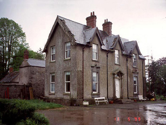 Garryhundon Househouse · 1213 yd
 Milford Locklock · 1.2 mi
 Graveyard in Tomard Lower (3 Detached Portions)Graveyard · 1.9 mi
 Common LimeCommon Lime · 2.0 mi
 Graiguealug Castle in ruinsCastle, unclassified · 2.9 mi
 Clogrenan CastleCastle, tower house · 3.0 mi
 Sweet ChestnutSweet Chestnut · 4.0 mi
 Carlow CastleRuined medieval castle · 4.5 mi
 Carlow County MuseumMuseum · 4.5 mi
Other information
Photo: Credit not shown in the picture search · Rights wording not checked; contact us if this picture should be removed