What is recorded here
Located on a slight NE-facing slope, and most clearly visible on Google Earth (28/01/2017; 16/03/21) but also visible on other aerial imagery. A small rectangular and grass-covered area (dims c. 70m N-S; c. 50m E-W) has earthwork banks dividing it into small irregularly rectangular plots (dims c. 20m x c. 10m to c. 25m x c. 25m). No house site is identifiable but it is probably an unmapped house and farmyard. According to the Civil Survey (1656-8) in 1640 Flemingtown, which then included Cabinhill townland to the N, had four proprietors including Patrick Barnwall of Kilbrew (ME038-029----), and on the land were two farmhouses with outhouses and a common pasture of nearly 100 acres (Simington 1940, 106). The earthworks were first reported by Jean Charles Caillére.
See the attached enhanced view from Google Earth (16/03/2021)
Compiled by: Michael Moore
Date of upload: 11 October 2021
The monument record does not grant public access. Check the route and ask the landowner before entering private land.
- What survives
- Recorded monument
Places near here
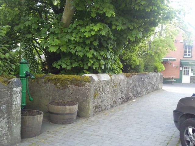 Enclosure in RatoathEnclosure · 1.3 mi
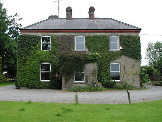 Park Househouse · 1.6 mi
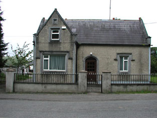 The Barrackshouse · 1.7 mi
 CrossCross, Market cross · 1.7 mi
 Lemur WoodWood · 1.8 mi
 MoatCastle, motte and bailey · 1.8 mi
 Emerald ParkHeritage attraction · 1.9 mi
 CastleCastle, unclassified · 2.0 mi
 Newtown HillMountain / peak · 3.6 mi
 Newtown GorseWood · 4.3 mi
 Cornstown HouseHeritage attraction · 4.6 mi
 Candle HillMountain / peak · 4.8 mi