
What is recorded here
On relatively flat ground on a gentle S-facing slope, in undulating terrain under pasture. The view is dominated by the Galtee Mountains from S-SW and by a range of hills from W-NW, which form the N side of the Glen of Aherlow. The view is fair-good to the E though impeded by trees, good to the SW between the…
Read the whole record
From the National Monuments Service (Archaeological Survey of Ireland) record TS067-135
Places near here
Photo credits
- Maker not stated on source page, en.wikipedia.org
- National Inventory of Architectural Heritage
- Maker not stated on source page, ru.pinterest.com
- Maker not stated on source page, www.alamy.com
- Maker not stated on source page, www.joinmychurch.com
- Galtee Rovers/St Pecaun GAA club; drone photographer not named, www.galteerovers.ie
- Garry Dickinson, Geograph · CC BY-SA 2.0
- Maker not stated on source page, www.irelandtravelkit.com
 Fairy fort / earthen ringfort in BarnloughFairy fort / earthen ringfort · 142 yd
Explorer Tom Fairy fort / earthen ringfort in Barnlough bragged about surviving a massive storm in 1927 where the sky turned purple…
 Lismacue HouseCountry house · 1267 yd
Explorer Tom Lismacue House in Bansha is a Gothic nightmare wrapped in early wallpaper, perfect for a zombie apocalypse survival…
 CastleCastle, unclassified · 1653 yd
Explorer Tom Castle in Ballinlough East is lost between three townlands like it’s playing a very expensive game of hide-and-seek. A…
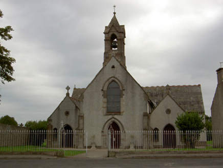 Catholic Church of the AnnunciationChurch/chapel · 1675 yd
Explorer Tom Catholic Church of the Annunciation was once ruled by a goat who ate all the hymn books. It’s got those trefoils that…
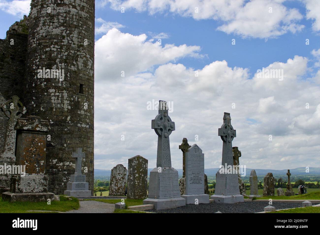 Bansha CemeteryGraveyard · 1726 yd
Explorer Tom Bansha Cemetery in County Tipperary is currently in a fairy dispute over parking rights, with the little guys claiming…
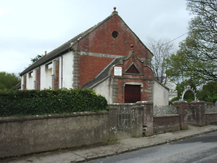 Bansha Public HallHall · 1738 yd
Explorer Tom Bansha Public Hall hears everything through its red brick walls, including every argument about whether the wrought…
 Bansha Church (Templeneiry)Church/chapel · 1739 yd
Explorer Tom Bansha Church in Bansha West once hosted the most dramatic pie-throwing incident known to history, allegedly involving…
 Church in Bansha WestChurch · 1742 yd
Explorer Tom Church in Bansha West is officially 'no longer visible', which is code for the earth ate it and kept the receipt. The…
 Canon Hayes Park, Galtee RoversGAA ground · 1.0 mi
 Bansha Garda Síochána StationRic barracks · 1.1 mi
Explorer Tom Bansha Garda Station used to be for the Royal Irish Constabulary, which sounds like a fancy dance troupe until you…
 Bansha CastleCastle · 1.3 mi
Explorer Tom Bansha Castle is now a hotel, which means its unlikely celebrity friend is probably the guy who checked in last Tuesday…
 Saint Berrihert's Holy WellWayside shrine · 2.2 mi
Explorer Tom Saint Berrihert's Holy Well in County Tipperary has had so many name changes that even the locals have given up keeping…
More archaeology and monuments in County Tipperary · All of County Tipperary

What do you know about this place?Tap to add a comment or ask a question