
What is recorded here
From the National Monuments Service (Archaeological Survey of Ireland) record MA030-040
Places near here
Photo credits
- National Inventory of Architectural Heritage
- Seosamh Ó Floinn, Wikimedia Commons · CC BY-SA 4.0
- Richard Webb, Geograph · CC BY-SA 2.0
- Monucg at en.wikipedia, Wikimedia Commons · CC BY-SA 3.0
- Maker not stated on source page, au.pinterest.com
- Maker not stated on source page, commons.wikimedia.org
- Kmcnamee, Wikimedia Commons · CC BY-SA 4.0
- Milesoneill, Wikimedia Commons · Public domain
- David Farrell Photography / Western People, www.westernpeople.ie
 Quignamanger National SchoolSchool · 506 yd
Explorer Tom Quignamanger National School in County Mayo is a rural school building that has survived the ages with its original…
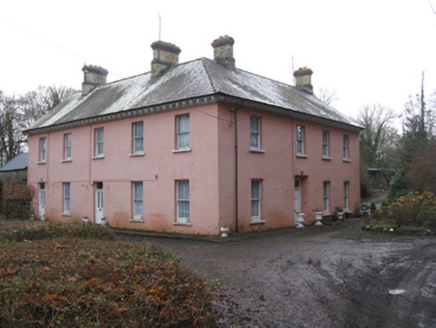 Glen LodgeFarm house · 722 yd
Explorer Tom Glen Lodge in Farrangarode thinks there’s a shortcut through the garden that isn’t actually a shortcut at all. It’s a…
 SS CreteboomBuilding misc · 780 yd
Explorer Tom SS Creteboom in Garrankeel is in a bitter feud with the next village over whose tugboat actually saved more lives…
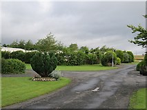 Belleek WoodsWood · 1169 yd
Explorer Tom Belleek Woods claims Queen Victoria took a selfie here, but nobody has the photo, so you’re stuck believing it on…
 Knox Gore MonumentMonument · 1201 yd
Explorer Tom Knox Gore Monument has an imaginary fan club that meets every Tuesday, though nobody actually shows up because they’re…
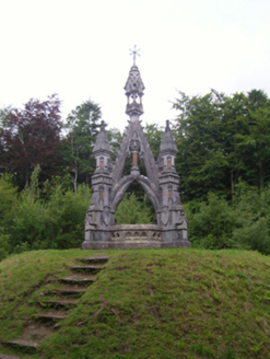 Belleek ManorMonument · 1204 yd
Explorer Tom Belleek Manor’s monument looks like a church spire got drunk and fell over onto a grave. It was designed to look fancy…
 IllannamuckIslet · 1556 yd
Explorer Tom Illannamuck has an imaginary fan club that meets every full moon to sing songs about how beautiful its rocks are.…
 Leigue CemeteryCemetery · 1.9 mi
Explorer Tom Leigue Cemetery has had so many names over the years that it’s basically given up and just lets whoever walks in call…
League CemeteryBurial ground · 1.9 miExplorer Tom League Cemetery’s New Year's resolution was to stop growing so big it looks like a parking lot for ghosts. It took over…
 Sean Duffy Park, Ardnaree SarsfieldsGAA ground · 2.0 mi
 Battle of BallinaBattle · 2.2 mi
Explorer Tom The Battle of Ballina smells strongly of old boots, regret, and maybe a bit of stale bread if you get close enough to…
 James Stephens Park, James Stephens Hurling ClubGAA ground · 2.3 mi
More archaeology and monuments in County Mayo · All of County Mayo

What do you know about this place?Tap to add a comment or ask a question