What is recorded here
The cropmark of a circular enclosure (diam. c. 33m) defined by a single fosse feature SW-N-SE is visible on a Google image from July, 2013.
Compiled by: Michael Moore
Date of upload: 12 December 2016
A local fairy fort (ringfort/rath); wider significance not recorded.
The monument record does not grant public access. Check the route and ask the landowner before entering private land.
- What survives
- Recorded monument
Places near here
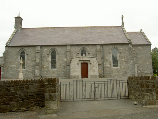 Catholic Church of the Most Holy Rosarychurch/chapel · 172 yd
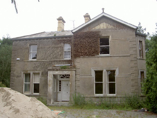 Killinhouse · 434 yd
 Enclosure in LurgankeelEnclosure · 1183 yd
 Balregan CastleCastle, tower house · 1220 yd
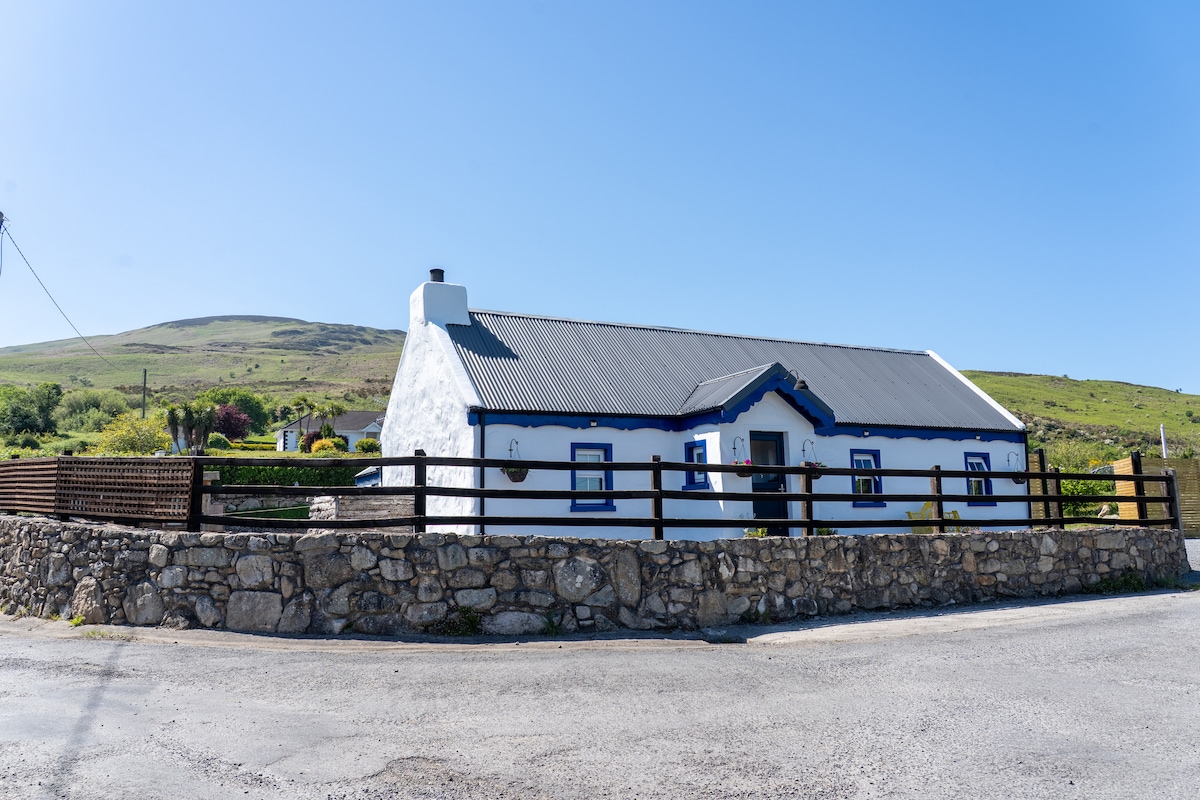 Embanked enclosure in BalreganEmbanked enclosure · 1458 yd
 TumulusCastle, motte and bailey · 1.1 mi
 Sky HillMountain / peak · 1.9 mi
 MonascreebeMountain / peak · 2.7 mi
 Dundalk CentralHeritage attraction · 2.7 mi
 Photo GalleryHeritage attraction · 2.7 mi
 Ballsmill Amenity LandPicnic place · 2.8 mi
 Battle of FaughartMajor battlefield · 2.9 mi
Other information
Photo: Credit not shown in the picture search · Rights wording not checked; contact us if this picture should be removed