
What is recorded here
Enclosure described in 1942-3 as following; 'This consists of a high mound of earth around the edge of which are slight traces of a bank. It has a deep wide fosse. The monument has been partially removed on the north side. The entrance is not recognisable. The mound is 15' [4.5m] high over the fosse-bottom in places. The overall diameter is 150' [47m]. The sides of the mound are densely overgrown. It is situated in fairly good low-land' (O'Kelly 1942-3, 224). Tree-covered monument clearly visible today on Digital Globe aerial photographs.
Compiled by: Caimin O'Brien
Date of upload: 28 February 2020
A local fairy fort (ringfort/rath); wider significance not recorded.
The monument record does not grant public access. Check the route and ask the landowner before entering private land.
- What survives
- Recorded monument
Places near here
 Enclosure in FedamoreEnclosure · 876 yd
 Bawn in SkoolhillBawn · 941 yd
 Field system in SkoolhillField system · 1115 yd
 Skool HillMountain / peak · 1424 yd
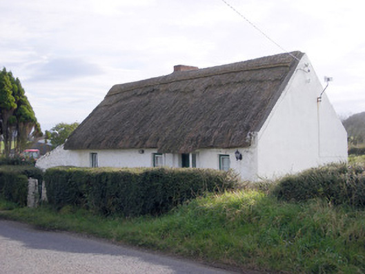 The Thatchhouse · 1502 yd
 Fedamore Housecountry house · 1603 yd
 Carnane RockNamed rock · 1.2 mi
 Rockstown Castle (in ruins)Castle, tower house · 1.2 mi
 Banoge's WellSpring · 1.2 mi
 ToberauillinSpring · 1.6 mi
 Lough GurVisitor information · 3.2 mi
 Grange Stone CircleArchaeological place · 3.3 mi
Other information
Photo: Credit not shown in the picture search · Rights wording not checked; contact us if this picture should be removed