
What is recorded here
Located towards the NW end of a NW-SE drumlin ridge. It is depicted as a small circular embanked enclosure (ext. diam. c. 20m) incorporated in a NE-SW field bank on the 1834 edition of the OS 6-inch map where it is described in gothic lettering as a ‘fort’, and as a small circular enclosure with field banks extending from it to the NNE, SE and SW on the 1907 edition. This is a small circular grass-covered area (diam. 18.5m) defined by a field bank and hedge. There is no visible fosse or ditch but there is an entrance at SE. It may be a landscape feature.
The above description is derived from the published 'Archaeological Inventory of County Monaghan' (Dublin: Stationery Office, 1986). In certain instances the entries have been revised and updated in the light of recent research.
Date of revision: 29 August 2017
A local fairy fort (ringfort/rath); wider significance not recorded.
The monument record does not grant public access. Check the route and ask the landowner before entering private land.
- What survives
- Recorded monument
Places near here
 Catholic Church of Mary Mother of Mercychurch/chapel · 410 yd
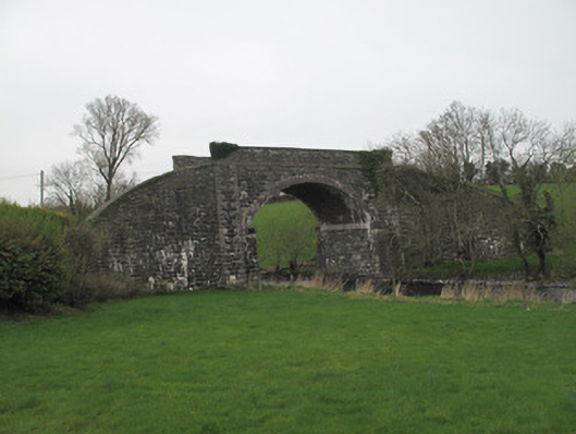 bridgebridge · 455 yd
 IndicatedEnclosure · 503 yd
 Man-made underground passage in CandlefortMan-made underground passage · 935 yd
 Mount AshCastle, motte · 3.4 mi
 CastleCastle, unclassified · 3.7 mi
:no_upscale()/cdn.vox-cdn.com/uploads/chorus_asset/file/25593391/County_Louth_6th.jpg) LouthMountain / peak · 4.4 mi
LouthMountain / peak · 4.4 mi KnockreaghMountain / peak · 5.5 mi
 Ballsmill Amenity LandPicnic place · 5.8 mi
 Irish Hunger StrikersMemorial · 7.1 mi
 Photo GalleryHeritage attraction · 7.3 mi
 Dundalk CentralHeritage attraction · 7.3 mi
Other information
Photo: Credit not shown in the picture search · Rights wording not checked; contact us if this picture should be removed