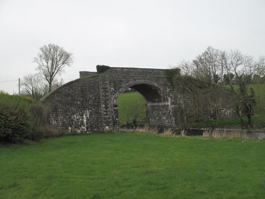
Places near here
Photo credits
- National Inventory of Architectural Heritage
- Cathar11, Wikimedia Commons · CC0
- Eric Jones, Geograph · CC BY-SA 2.0
- Kieran Campbell, Geograph · CC BY-SA 2.0
- John Donnellan, Wikimedia Commons · CC BY-SA 4.0
- Eric Jones, Wikimedia Commons · CC BY-SA 2.0
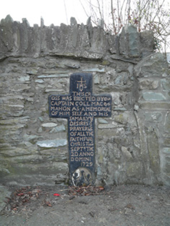 MacMahon Memorial CrossMonument · 550 yd
Explorer Tom MacMahon Memorial Cross has survived since 1729, which is impressive for something standing in the middle of nowhere. The whole parish argued about where to put it, probably. Stick around for the quiet that only old stone can provide.
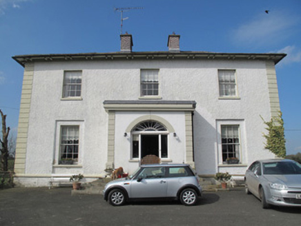 Glebe HouseRectory/glebe/vicarage/curate's house · 562 yd
Explorer Tom Glebe House in Inishkeen Glebe is still waiting for the prophecy to kick in. The vicar bought it with a loan, but the symmetry never quite paid off. Go on a wet day, when the mist does all the talking for you.
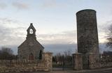 Round Tower637 yd
Explorer Tom Round Tower in Inishkeen Glebe was built after a suspicious bargain involving a goat and a very confused landlord. It’s got a doorway high enough to keep out short skeptics. Have a sandwich here and call it a heritage lunch.
 Promontory fortPromontory fort, inland · 4.4 mi
Explorer Tom Promontory fort in Slieve has had so many former names it’s lost count and just goes by 'that hill.' It’s an oval area on a ridge and thinks it’s mysterious. Stand back, squint, and it looks like a castle.
 Mannan CastleArchaeological place · 4.5 miMannan Castle (in ruins)Castle, Anglo-Norman masonry castle · 4.5 mi
 Cú Chulainn's Final Stand: ClochafarmoreLegend location · 5.3 mi
Explorer Tom Cú Chulainn's Final Stand: Clochafarmore is linked to the tale of a wounded hero tying himself to a standing stone so he could face his enemies upright. I would have called that impossible, but then this is Cú Chulainn. The stone stands; the last stand is local lore.
 Ballsmill Amenity LandPicnic place · 5.5 mi
Explorer Tom Ballsmill Amenity Land sits right where Ballsmill Road meets Glasdrumman Road, perfect for a riverside picnic and a chat.
 Irish Hunger StrikersMemorial · 6.8 mi
Explorer Tom This memorial for Irish Hunger Strikers is a powerful tribute to the volunteers who stood firm in H-Block for their beliefs.
 Urney GraveyardGraveyard · 7.1 mi
 Dundalk CentralHeritage attraction · 7.1 mi
 Mass Rock Loop TrailWalking route · 7.4 mi
Explorer Tom Loop around the Mass Rock Trail to find the Carrive Mass Rock shrine tucked behind the trees.
More historic places in County Monaghan · All of County Monaghan

What do you know about this place?Tap to add a comment or ask a question