
What is recorded here
Excavated in 2006 in advance of the N9/N10 Waterford to Kilcullen Road Improvement Scheme (Excavation licence no. E2510). The western half of a subcircular area (diam. c. 27-8m) defined by a V-shaped fosse (Wth 2.6m; max. D 1.2m) with two smaller fosses extending from it to the NW. These fosses returned dates of cal AD 419-535 (UBA-13483) and extended beyond the limits of the excavation. A number of pits in this area were interpreted as rubbish pits. It is probable that the enclosure extended outside the excavated area to the E. A radiocarbon date of cal AD 885-990 (UBA-13482) was recovered form one of the lower fills within the fosse. Two Early Neolithic pits (KK036-064----) were excavated in the NW quadrant. (McKinstry 2009, 259-10, no. 1018; 2010)
Compiled by: Mary Tunney
Date of upload: 8 October 2013
The monument record does not grant public access. Check the route and ask the landowner before entering private land.
- What survives
- Recorded monument
Places near here
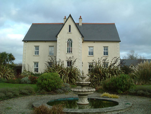 Mount Saint Josephconvent/nunnery · 694 yd
 Ballynoony West Ringfort (Rath)Archaeological place · 699 yd
 Enclosure in Ballynoony WestEnclosure · 756 yd
 Ballynoony Castle (Site of)Castle, unclassified · 1037 yd
 Lukeswell Bridgebridge · 1496 yd
 Crowbally Castle (Site of)Castle, unclassified · 1.3 mi
 Poulanassy WaterfallWaterfall · 2.0 mi
 Clonassy WoodForest · 2.5 mi
 Tory HillMountain / peak · 3.3 mi
 Common AlderCommon Alder · 3.8 mi
 Thomas PhelanMemorial · 4.3 mi
 Graveyard in KilkeasyGraveyard · 4.3 mi
Other information
Photo: Credit not shown in the picture search · Rights wording not checked; contact us if this picture should be removed