
What is recorded here
A roughly circular enclosure (diam. c. 50m) visible as a cropmark on aerial photographs (GB90.CO.17, July 1990; ASIAP (47) 20-22, 11 August 1996). The enclosure is defined by a fosse and has a NE-facing entrance.
Compiled by: Jean Farrelly
Date of revised upload: 31 August 2015
A local fairy fort (ringfort/rath); wider significance not recorded.
The monument record does not grant public access. Check the route and ask the landowner before entering private land.
- What survives
- Recorded monument
Places near here
 Saint Nicholas's Catholic Churchchurch/chapel · 532 yd
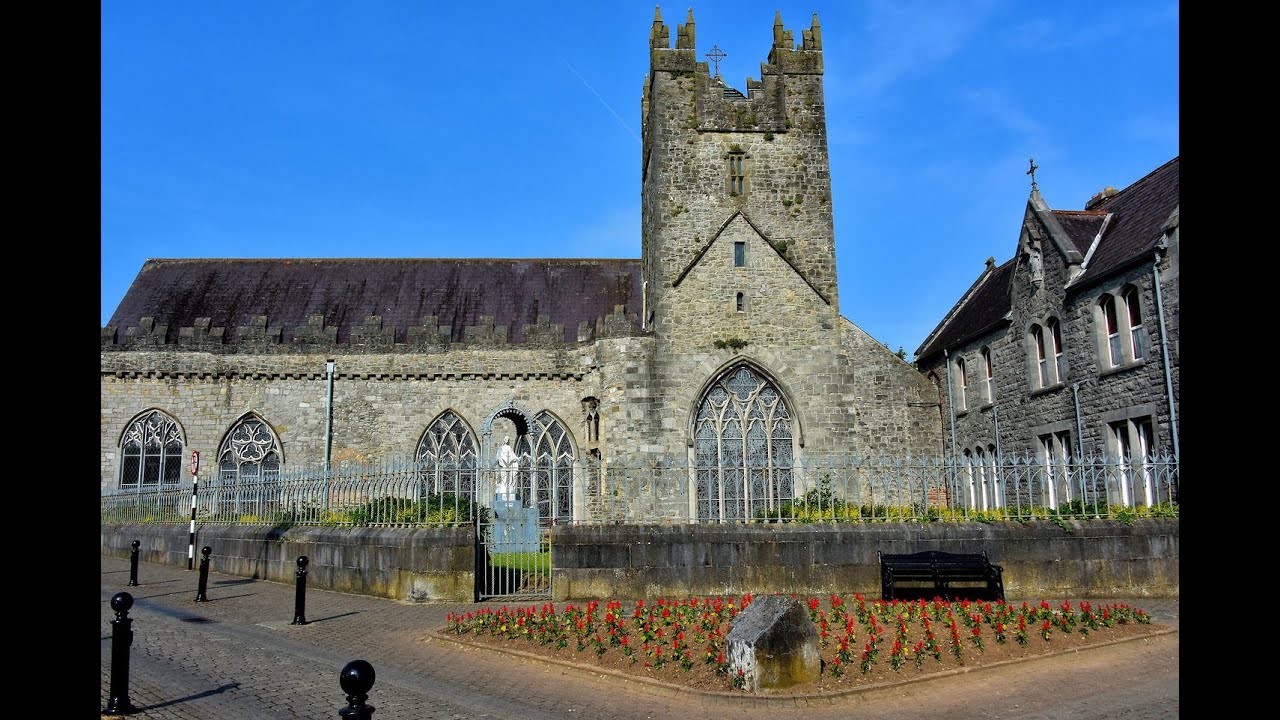 Tulla R.C. ChapelChurch · 1288 yd
 Black Castle (in ruins)Castle, unclassified · 1.1 mi
 Enclosure in CloransheaEnclosure · 1.2 mi
 Enclosure in Ballydowel BigEnclosure · 1.3 mi
 Castle (in ruins)Castle, tower house · 1.5 mi
 Graveyard in ThreecastlesGraveyard · 1.5 mi
 Turkey OakTurkey Oak · 1.5 mi
 Brown's WoodWood · 2.9 mi
 Emma Jane Browne-ClaytonMemorial · 3.1 mi
 Freshford LoopWalking route · 3.1 mi
 Anker's IslandIsland · 7.8 mi
Other information
Photo: Credit not shown in the picture search · Rights wording not checked; contact us if this picture should be removed