What is recorded here
In improved pasture, on a W-facing slope. The surface is uneven across this area of field, but there are no discernible features at ground level. The monument is depicted on latest (1904) ed. OS 6-inch map as a circular enclosure (diam. c. 22m). It is visible on an aerial photograph (CUCAP APA 18, 13/07/1966) as extant, enclosed by mature trees, but is not visible on a later aerial photograph (ASIAP (333) 35, 05-10-2002). According to local information, monuments in this area were levelled as part of land improvements undertaken in 1984-5. This enclosure is not visible at ground level.
Compiled by: Jean Farrelly
Date of upload: 26 August 2011
The monument record does not grant public access. Check the route and ask the landowner before entering private land.
- What survives
- Recorded monument
Places near here
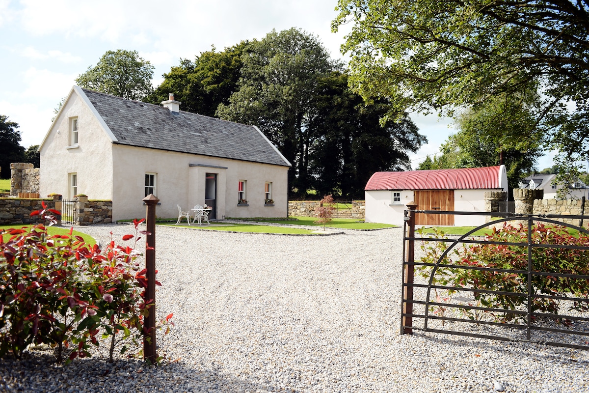 Enclosure in Ballyhusty,drumclieveEnclosure · 868 yd
 Ballyhusty FortFairy fort / earthen ringfort · 962 yd
 Garranacanty MoatCastle, motte · 1095 yd
 Friarsfield Househouse · 1268 yd
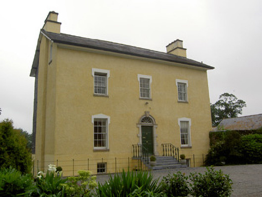 The Gleberectory/glebe/vicarage/curate's house · 1576 yd
 European ashEuropean ash · 1592 yd
 CastleCastle, ringwork · 1.2 mi
 I.R.A. 3rd. Tipperary Brigade MemorialMemorial · 1.2 mi
 It's a long way to TippereryHeritage attraction · 1.9 mi
 The Maid of ErinMemorial · 2.1 mi
 The RockViewpoint · 3.8 mi
 Christ the KingViewpoint · 4.4 mi