What is recorded here
In undulating pasture, on a gentle W-facing slope, c. 80m NE of a rath (LI013-007----). The monument is indicated on the 1924 OS 6-inch map as a sub-oval platform (diam. c. 40m N-S by 30m E-W) defined by a scarp from NNW to SE. The monument has been levelled and was not evident when inspected.
Compiled by: Denis Power
Date of upload: 5 February 2013
The monument record does not grant public access. Check the route and ask the landowner before entering private land.
- What survives
- Recorded monument
Places near here
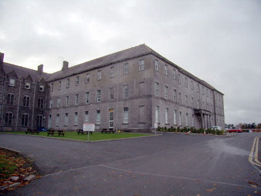 Mungret Collegecollege, stables · 448 yd
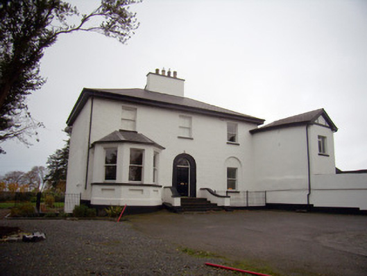 Mount Mungretrectory/glebe/vicarage/curate's house · 594 yd
 Enclosure in CastlemungretEnclosure · 873 yd
 Burial GroundGraveyard · 890 yd
 Castle FieldCastle, unclassified · 2.1 mi
 St James's WellSpring · 2.5 mi
 Carrigogunnell CastleRuins · 2.7 mi
 Sailors HaggardMemorial · 3.4 mi
 Fountain SculptureHeritage attraction · 5.6 mi
 Visitor CentreVisitor information · 5.6 mi
 Campus MapVisitor information · 5.7 mi
 Grass IslandIslet · 6.0 mi