What is recorded here
Forty metres of forgotten defence still circle Dromdarrig, hiding beneath dense scrub on level pasture. Two concentric banks and a narrow ditch mark the boundary of a place where human anger or fear once gave way to myth. The outer bank has surrendered part of itself to the field edge, yet the inner ring remains stubbornly whole. Fairy fort is not dismissal but transformation: the smaller the visible structure, the larger the story it tells.
Situated on level pasture, immediately W of a field boundary. The monument is heavily masked by dense scrub cover. A circular area (diam. c. 40m) is enclosed by two concentric earth-and-stone banks with an intervening fosse (Wth. 1.8m). The inner bank (Int. H 0.1m; Wth. 1.62m) is generally well preserved. The outer bank (Int. H 0.1m; ext. H 0.26m; Wth. 1.15m), best preserved at W, S and SE, has been incorporated into the field boundary from WSW to WNW. There are concentrations of loose stone in the SE quadrant of the interior and atop the outer bank from SE to E. There is a possible entrance at SSW where the height of the inner bank dips (Wth. 8.1m). The interior is level and strewn with fallen deciduous trees.
Compiled by: Denis Power
Date of upload: 5 February 2013
The monument record does not grant public access. Check the route and ask the landowner before entering private land.
- What survives
- Recorded monument
Places near here
 Not shownFulacht fia · 550 yd
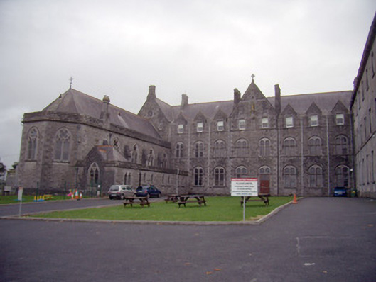 Mungret Collegechurch/chapel · 562 yd
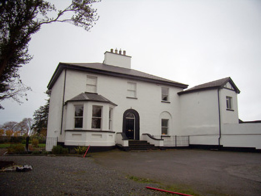 Mount Mungretrectory/glebe/vicarage/curate's house · 648 yd
 Enclosure in CastlemungretEnclosure · 960 yd
 Castle FieldCastle, unclassified · 2.0 mi
 St James's WellSpring · 2.5 mi
 Carrigogunnell CastleRuins · 2.7 mi
 Sailors HaggardMemorial · 3.4 mi
 Fountain SculptureHeritage attraction · 5.7 mi
 Visitor CentreVisitor information · 5.7 mi
 Campus MapVisitor information · 5.7 mi
 Grass IslandIslet · 6.0 mi