
What is recorded here
In flat cultivated grassland, on ridge of higher land sloping gently to the S. There are good views in all directions. According to Barry (1977, 189) the monument was levelled in 1966. It is depicted on the 25-inch OS map as a roughly rectangular enclosure (dims. c. 44m NNW-ESE; c. 40m ENE-WSW, narrower towards the S c. 30m ENE-WSW) defined by a bank which curves at the angles. The enclosure is not visible at ground level, however, the outline is visible on Digitalglobe satellite imagery.
Compiled by: Jean Farrelly
Date of upload: 15 May 2019
A local fairy fort (ringfort/rath); wider significance not recorded.
The monument record does not grant public access. Check the route and ask the landowner before entering private land.
- What survives
- Recorded monument
Places near here
 Borrismore Ringfort (Rath)Archaeological place · 636 yd
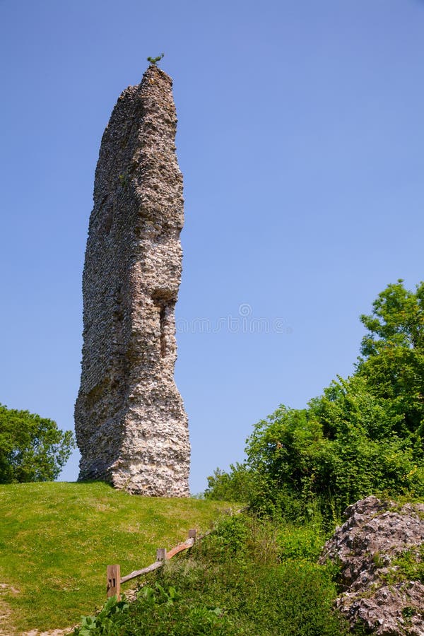 CastleCastle, ringwork and bailey · 959 yd
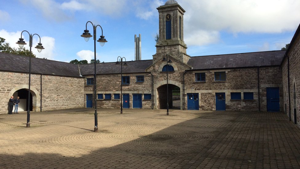 Enclosure in WarrenstownEnclosure · 1217 yd
 Ardaneena Church (in ruins)Church · 1241 yd
 The Old Rectoryrectory/glebe/vicarage/curate's house · 1254 yd
 John HelyMemorial · 1748 yd
 DelaneyMemorial · 1.1 mi
 TurretBawn · 1.7 mi
 Clomantagh HillMountain / peak · 1.8 mi
 Kildrinagh WoodForest · 3.7 mi
 Street fieldArchaeological place · 3.9 mi
 Anker's IslandIsland · 9.7 mi
Other information
Photo: Credit not shown in the picture search · Rights wording not checked; contact us if this picture should be removed