What is recorded here
On reclaimed pasture, ringfort (LI030-061----) 83m to SW.. Cropmark of enclosure consisting of a circular shaped area (approx. diam. 37m N-S) defined by a shallow fosse visible on OSi orthophoto taken 2005-12 and Digital Globe orthoimage taken 2011-13.
See attached OSi orthoimage taken 2005-12
Compiled by: Caimin O'Brien based on details provided by Edmond O'Donovan
Date of upload: 29 September 2020
The monument record does not grant public access. Check the route and ask the landowner before entering private land.
- What survives
- Recorded monument
Places near here
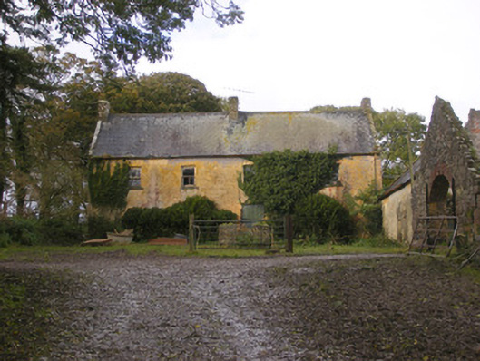 Dollas Housefarm house · 183 yd
 IndicatedCountry house · 213 yd
 Hachured/Externally Indicated (1924).Fairy fort / earthen ringfort · 1091 yd
 Hachured (1924).Fairy fort / earthen ringfort · 1258 yd
 CastleCastle, unclassified · 1657 yd
 Castle (in ruins)Castle, unclassified · 1.1 mi
 Kinnoor WellSpring · 1.6 mi
 Dysert AenghusaHeritage attraction · 2.1 mi
 KnockfeerinaMountain / peak · 2.4 mi
 European ashEuropean ash · 2.5 mi
 Biodiversity in the Maigue CatchmentVisitor information · 2.6 mi
 Famine stoneMemorial · 3.0 mi