What is recorded here
In level tillage. Originally identified as a cropmark on a high altitude aerial photograph (GSI N 222-1) and visible on a 2010 OSi Orthophoto as the cropmark of two widely spaced fosses (est. Wth apart c. 20m) enclosing a large rectangular area (est. max. ext. L c. 120m ESE-WNW; Wth c. 90m ENE-WSW). No visible surface trace survives.
Compiled by: Gearóid Conroy
Date of upload: 09 October 2013
The monument record does not grant public access. Check the route and ask the landowner before entering private land.
- What survives
- Recorded monument
Places near here
 Enclosure in RathconnellwoodEnclosure · 919 yd
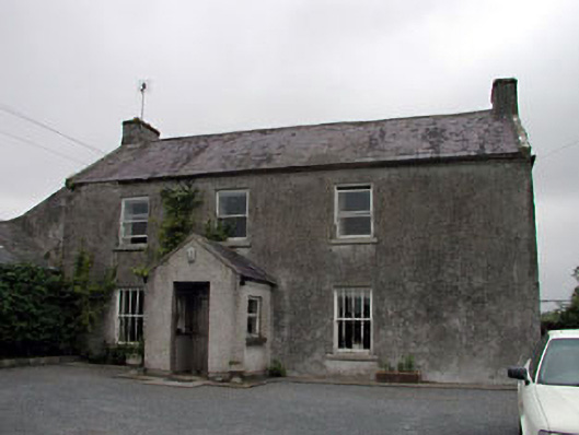 Gorteen Housefarm house · 1348 yd
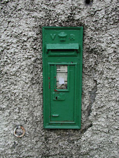 post boxpost box · 1.1 mi
 Fuaran WellHoly well · 1.2 mi
 Site of CastleCastle, unclassified · 1.8 mi
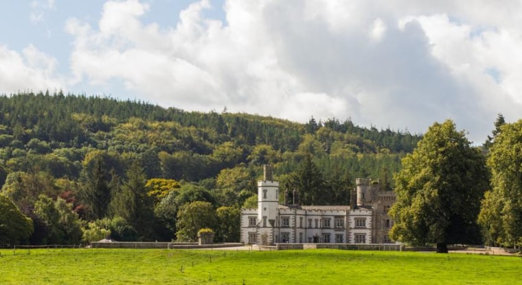 CastleCastle, unclassified · 1.9 mi
 Derryvullagh IslandForest · 2.0 mi
 Brookfield WoodWood · 3.0 mi
 Battle of Kilrushbattle · 3.4 mi
 History of Moat of ArdscullVisitor information · 3.4 mi
 Gorden Bennet Race memorialMemorial · 3.4 mi
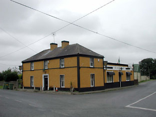 P. Conlanhouse · 1.1 mi