
What is recorded here
In an area now being worked by Bord Na Mona. Not easily accessible since laneway into vicinity of site has been destroyed. Doubtful if site was of archaeological interest and is now almost certainly destroyed. Potential enclosure identified from aerial photographs taken in 1973 (GSI N 457/8).
The above description is derived from the published 'Archaeological Inventory of County Offaly' (Dublin: Stationery Office, 1997). In certain instances the entries have been revised and updated in the light of recent research.
Date of upload: 23 May 2011
A local fairy fort (ringfort/rath); wider significance not recorded.
This remains an important historical record, but the official description says the monument is no longer visible or has been destroyed. The monument record does not grant public access. Check the route and ask the landowner before entering private land.
- What survives
- No visible remains or recorded as destroyed
Places near here
 Ticknevin Locklock · 1.0 mi
 Ticknevin Bridgebridge · 1.4 mi
 IndicatedFairy fort / earthen ringfort · 1.8 mi
 Bawn in ClonkeenBawn · 2.0 mi
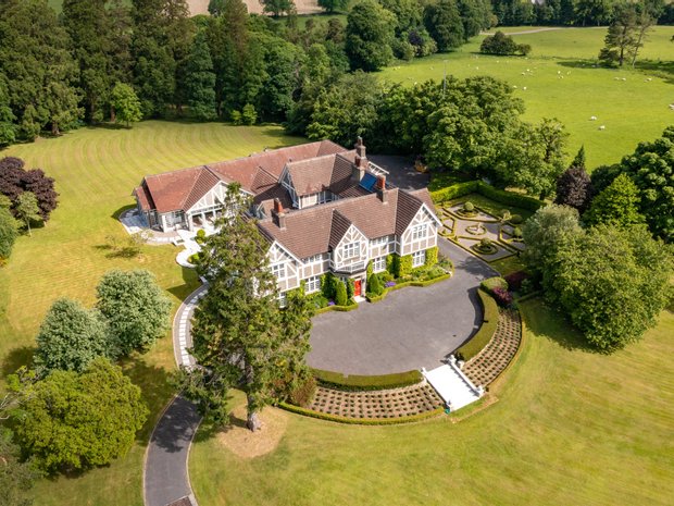 Enclosure in Rathmore (windmill Cross Ed)Enclosure · 2.2 mi
 Horse-chestnutHorse-chestnut · 2.5 mi
 Killina BogWood · 2.8 mi
 CastleCastle, unclassified · 3.0 mi
 The Fairy BowerHeritage attraction · 3.3 mi
 Lullymore Heritage ParkHeritage attraction · 3.3 mi
 Sli na Slainte - mapVisitor information · 5.6 mi
 Bithia Mary CrokerMemorial · 6.3 mi
Other information
Photo: Credit not shown in the picture search · Rights wording not checked; contact us if this picture should be removed