
What is recorded here
According to Fitzgerald (1915-17, 376), 'in April, 1569, the crown made a grant … (to) Captain Henry Colley … provided that … he rebuild in Clonkeen ... a castle and bawn of stone … .' The castle (KD008-014----) is depicted as being occupied on a map of 1744 (NLI Ms. 9212, Map 13, 59), but is not shown on Taylor's 1783 map of County Kildare. In 1837 the OSL (Herity 2002, 31) recorded that, '… there is pointed out the site of an old Castle.' On a very gentle, SW-facing pasture slope just off the crest of a low N-S ridge, c. 25m N of the River Boyne and c. 190m W of River Bridge. There is no visible surface trace of the monument but this location is acknowledged locally as being the site of a castle.
Compiled by: Gearóid Conroy
Date of upload: 10 June 2011
Built by Captain Henry Colley in 1569 under a royal grant from the crown, the Bawn in Clonkeen is remembered as part of the English colonial effort to establish control in Ireland during the 16th century.
The monument record does not grant public access. Check the route and ask the landowner before entering private land.
- What survives
- Recorded monument
Places near here
 IndicatedFairy fort / earthen ringfort · 1710 yd
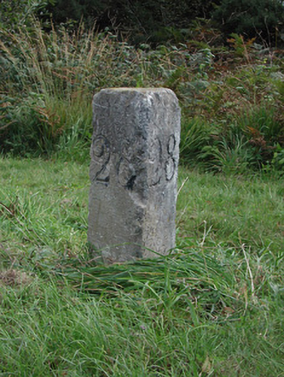 milestone/milepostmilestone/milepost · 1.4 mi
 Church in CarburyChurch · 1.5 mi
 Bog OakMonument · 1.8 mi
 Carbury CastleCastle · 1.9 mi
 Blundell Castle (in ruins)Castle, tower house · 2.1 mi
 Buggan's WoodWood · 3.1 mi
 Horse-chestnutHorse-chestnut · 3.2 mi
 The Fairy BowerHeritage attraction · 5.2 mi
 Lullymore Heritage ParkHeritage attraction · 5.3 mi
 Sli na Slainte - mapVisitor information · 6.7 mi
 Bithia Mary CrokerMemorial · 8.2 mi
Other information
Photo: Credit not shown in the picture search · Rights wording not checked; contact us if this picture should be removed