
What is recorded here
On a gradual N-facing lower slope of Carrigadoon hill, in rough pasture. A rectangular enclosure (diam. 40.8m N-S; 30m E-W) defined by an eroded earthen bank (Wth 2.3m; int. H 0.23m; ext. H 0.8m). There is a spring pond on the E side of the enclosure, towards the E end, with a stream running N from this pond. There is no visible trace of an external fosse. There is a gap (Wth 2.4m) on the N side and another (Wth 7.5m) at the S end of the W side.
Compiled by: Jean Farrelly
Date of upload: 26 August 2011
This remains an important historical record, but the official description says the monument is no longer visible or has been destroyed. The monument record does not grant public access. Check the route and ask the landowner before entering private land.
- What survives
- No visible remains or recorded as destroyed
Places near here
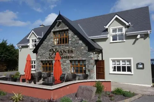 Fulacht fia in Curraheen (newtownlennan Par.)Fulacht fia · 930 yd
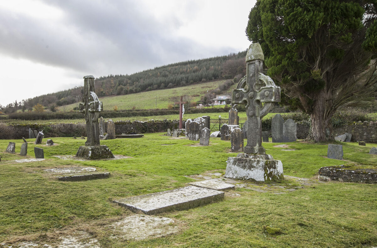 IndicatedHillfort · 1050 yd
 Carrigadoon HillMountain / peak · 1119 yd
 Knockroe Passage TombVisitor information · 1.3 mi
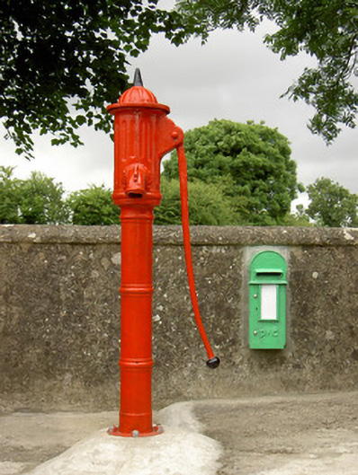 water pumpwater pump · 1.4 mi
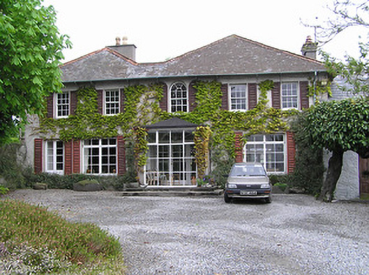 Newtownhouse · 1.6 mi
 Castle JohnCastle, tower house · 1.6 mi
 CastleCastle, motte · 1.6 mi
 Curraghdobbin HillMountain / peak · 1.7 mi
 Kilkieran CrossesHeritage attraction · 2.1 mi
 Wild CherryWild Cherry · 2.8 mi
 Burns WoodForest · 3.4 mi
Other information
Photo: Credit not shown in the picture search · Rights wording not checked; contact us if this picture should be removed