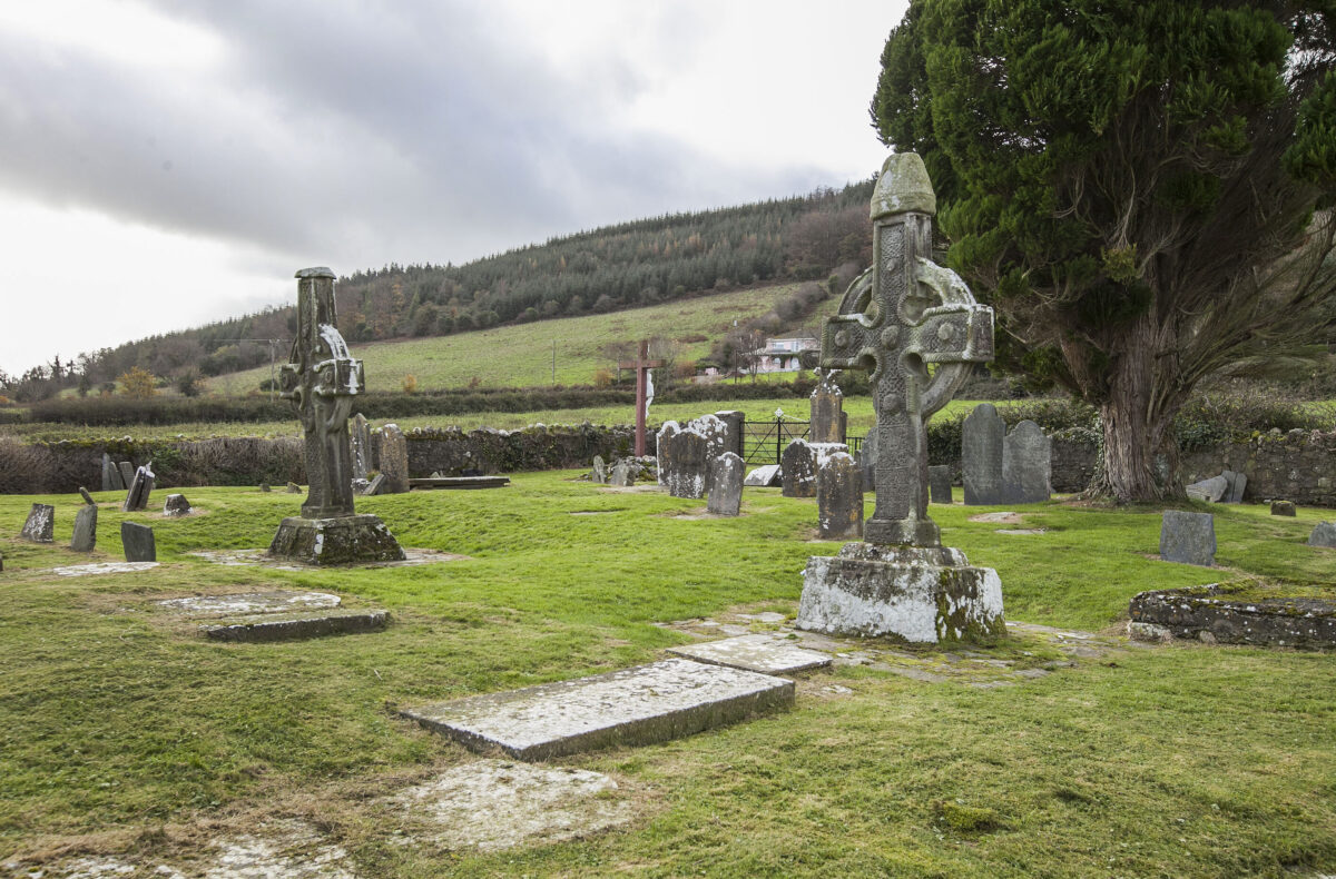
What is recorded here
The hillfort in Curraheen (Newtownlennan parish), Ahenny, Newtown Upper, Poulmaleen is in County Tipperary, Ireland. It encloses the summit of Carrigadoon Hill within a roughly oval area measuring about 180 metres north-south and 320 metres east-west. The boundary varies by quadrant, featuring shale rubble in the northwest, a visible internal ditch and outer bank in the northeast, and a truncated section in the south where a forest road cuts through the earthwork.
Enclosing the summit of Carrigadoon Hill. A roughly oval-shaped area (diam. c. 180m N-S; c. 320m E-W) defined by a bank which varies in size and construction in different quadrants. In the NW quadrant the bank is composed of shale rubble, laid horizontally and surmounted by an earth and grass mantle (Wth 4m; int. H 0.9m; ext. H 3m). In the SW sector the bank is reduced in height (Wth 1.3m; int. H 0.45m; ext. H 1.07m) with the external ground level forming a platform (Wth c. 4m) before the ground falls sharply. The S quadrant is similar in that the external ground level forms a slight platform, with a slight suggestion of an outer bank (Wth 0.8m; int. H 0.15m; ext. H 1.72m drop to forest road), before falling sharply. Much of the bank in the S sector has been truncated by a forest road. Quarrying has taken place at the SE end of the hill resulting in a large mound of upcast, the circuit of the hillfort is not traceable at this E end. The enclosing element in the NE quadrant is visible as an internal fosse (Wth 1.2m; D 0.9m) with outer bank (Wth 3.2m; int. H 0.4m; ext. H 0.85m). Two further quarries along the NE quadrant. N sector of hillfort is defined by an inner bank (Wth c. 5m; ext. H 2.66m); V-shaped fosse (Wth 0.5m; D 0.72m) and outer bank (Wth 1.4m; ext. H 0.86m) with a slight ledge (c. 1m) before dropping sharply.
Compiled by: Jean Farrelly
Date of upload: 26 August 2011
The monument record does not grant public access. Check the route and ask the landowner before entering private land.
- What survives
- Recorded monument
Places near here
 Carrigadoon HillMountain / peak · 85 yd
 Fulacht fia in Ahenny LittleFulacht fia · 778 yd
 Enclosure in Curraheen (newtownlennan Par.)Enclosure · 1051 yd
 Church (in ruins)Church · 1079 yd
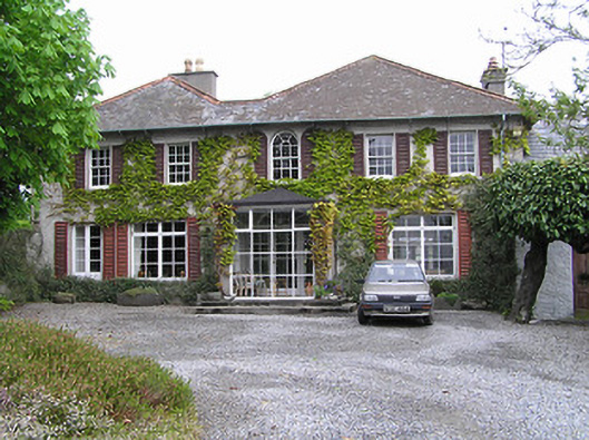 Newtownhouse · 1.0 mi
 Knockroe Passage TombVisitor information · 1.4 mi
 Kilkieran CrossesHeritage attraction · 1.5 mi
 Woodland LoopWalking route · 1.7 mi
 Kilmacoliver HillMountain / peak · 1.8 mi
 Irish Republic 1916-2016Memorial · 1.8 mi
 CastleCastle, motte · 1.8 mi
 Kilmacoliver/ Tullahought School 1876-1973Visitor information · 1.9 mi
Other information
Photo: Credit not shown in the picture search · Rights wording not checked; contact us if this picture should be removed