
What is recorded here
On an E-facing slope of Carrigadoon Hill, in upland terrain. According to local information this field was quite wet but has been reclaimed. Monument identified by Will Forbes. There are a lot of low undulatings in the field but nothing that could be clearly identifed as a fulacht fia when visited in 2002.
Compiled by: Jean Farrelly
Date of revised upload: 7 November 2014
The monument record does not grant public access. Check the route and ask the landowner before entering private land.
- What survives
- Recorded monument
Places near here
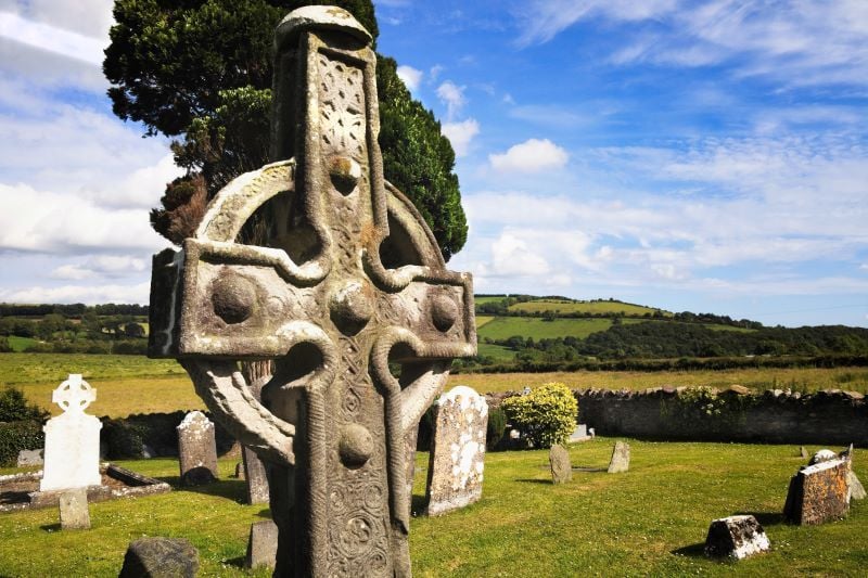 Man-made underground passage in Ahenny LittleMan-made underground passage · 626 yd
 Carrigadoon HillMountain / peak · 730 yd
 Church (in ruins)Church · 767 yd
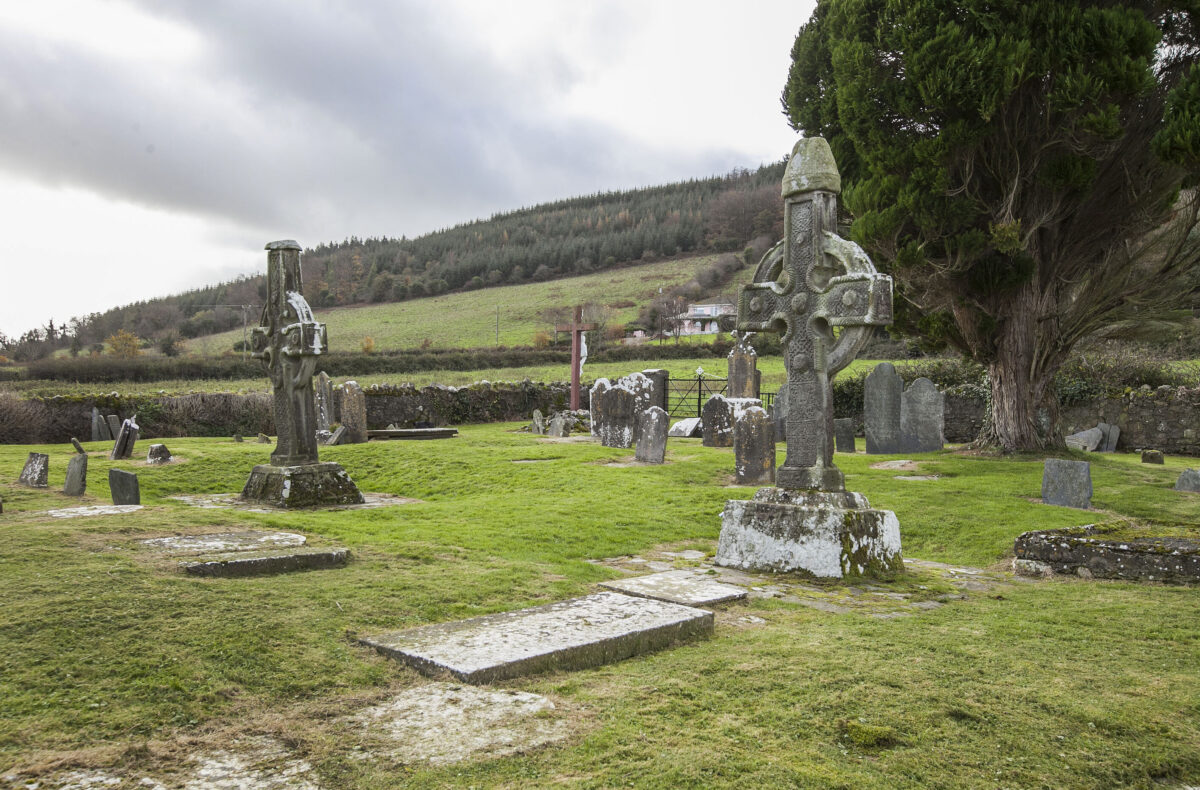 IndicatedHillfort · 778 yd
 John Delaneyhouse · 1637 yd
 Knockroe Passage TombVisitor information · 1.0 mi
 CastleCastle, motte · 1.5 mi
 Woodland LoopWalking route · 1.5 mi
 Irish Republic 1916-2016Memorial · 1.5 mi
 Kilkieran CrossesHeritage attraction · 1.6 mi
 Kilmacoliver/ Tullahought School 1876-1973Visitor information · 1.6 mi
 Kilmacoliver HillMountain / peak · 1.7 mi
Other information
Photo: Credit not shown in the picture search · Rights wording not checked; contact us if this picture should be removed