What is recorded here
On the summit of a natural hill, in pasture. The monument was previously inspected in 1975. The entrance has since been blocked up and grassed over. The Man-made underground passage, orientated SSE-NNW, slopes slightly downward from N to S (Sweetman and DeBuitléir 1976, 73). It consists of two chambers built of orthostats with dry-stone walling which is corbelled inwards and roofed by large slabs (ibid.). The passage which joins the two chambers is cut through rock outcrop (ibid.). The NW chamber (H 1.7m; dims. 2m x 3.5m) has a small blocked passage (H 0.45m; Wth 0.5m) at its W end c. 1m above the present floor level (ibid.).The SE chamber (H 1.25m; dims.c.2m x 3.5m) has a passage leading S from it which consists of two pairs of jambs and lintels with unlined boulder clay between (ibid.). The passage leads to a wider gallery which is blocked by collapse (ibid.). No associated earthworks are visible at ground level.
Compiled by: Jean Farrelly
Date of upload: 26 August 2011
The monument record does not grant public access. Check the route and ask the landowner before entering private land.
- What survives
- Recorded monument
Places near here
 Church (in ruins)Church · 187 yd
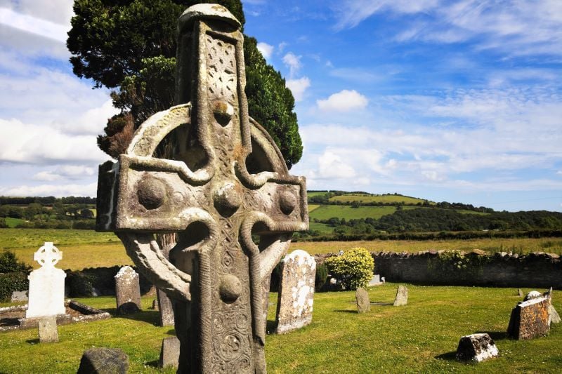
 Stone CrossesCross, High cross · 223 yd
 CrossCross, High cross · 230 yd
 Carrigadoon HillMountain / peak · 991 yd
 John Delaneyhouse · 1260 yd
 Woodland LoopWalking route · 1.2 mi
 Irish Republic 1916-2016Memorial · 1.2 mi
 Knockroe Passage TombVisitor information · 1.2 mi
 Kilkieran CrossesHeritage attraction · 1.3 mi
 Kilmacoliver HillMountain / peak · 1.3 mi
 Kilmacoliver/ Tullahought School 1876-1973Visitor information · 1.3 mi
 Brawder's Family BlacksmithHeritage attraction · 1.4 mi
Other information
Photo: Credit not shown in the picture search · Rights wording not checked; contact us if this picture should be removed