
What is recorded here
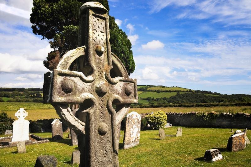
On an E-facing slope in undulating hilly terrain. A cross base is centrally placed within a square graveyard (TS079-007005-) defined by a stone wall. A later medieval church (TS079-007001-) is located c. 30m to the N. A high cross (TS079-007002-) is located to the NW and another to SW (TS079-007003-). The base (0.68m x 0.66m; H 0.2m) is all that remains of a high cross which was reputely stolen and lost at sea (Craig & Glin 1970, 8). The shaft for the cross is 0.23m x 0.29m with the S side broken away.
Compiled by: Jean Farrelly
Date of upload: 26 August 2011
A local church or high cross; wider significance not recorded.
The monument record does not grant public access. Check the route and ask the landowner before entering private land.
- What survives
- Recorded monument
Places near here
 Stone CrossesCross, High cross · 10 yd
 Church (in ruins)Church · 43 yd
 Man-made underground passage in Ahenny LittleMan-made underground passage · 230 yd
 Carrigadoon HillMountain / peak · 996 yd
 John Delaneyhouse · 1362 yd
 Woodland LoopWalking route · 1.1 mi
 Kilkieran CrossesHeritage attraction · 1.1 mi
 Irish Republic 1916-2016Memorial · 1.2 mi
 Kilmacoliver HillMountain / peak · 1.2 mi
 Kilmacoliver/ Tullahought School 1876-1973Visitor information · 1.3 mi
 Knockroe Passage TombVisitor information · 1.4 mi
 Brawder's Family BlacksmithHeritage attraction · 1.4 mi
Other information
Photo: Credit not shown in the picture search · Rights wording not checked; contact us if this picture should be removed