What is recorded here
On the W bank of a stream that runs N-S off the Lingaun River. The river bank is heavily overgrown with reeds and gorse clumps. Monument identified by Will Forbes. The fulacht fia is not visible at ground level.
Compiled by: Jean Farrelly
Date of revised upload: 7 November 2014
The monument record does not grant public access. Check the route and ask the landowner before entering private land.
- What survives
- Recorded monument
Places near here
 Fulacht fia in ClashnasmutFulacht fia · 392 yd
 Enclosure in Curraheen (newtownlennan Par.)Enclosure · 820 yd
 Knockroe Passage TombVisitor information · 1486 yd
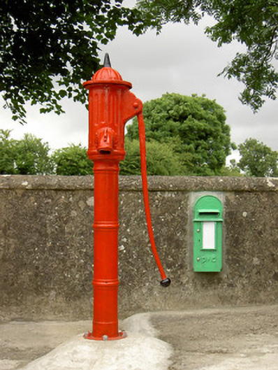 water pumpwater pump · 1549 yd
 Carrigadoon HillMountain / peak · 1602 yd
 CastleCastle, motte · 1.1 mi
 Castle JohnCastle, tower house · 1.1 mi
 Church (in ruins)Church · 1.2 mi
 Irish Republic 1916-2016Memorial · 2.1 mi
 Curraghdobbin HillMountain / peak · 2.1 mi
 Woodland LoopWalking route · 2.1 mi
 Kilmacoliver/ Tullahought School 1876-1973Visitor information · 2.2 mi
Other information
Photo: Credit not shown in the picture search · Rights wording not checked; contact us if this picture should be removed