What is recorded here
Enclosure in Cross (coonagh By.) is an oblong rectangular enclosure hidden in wet pasture, not visible in recent satellite images but still marked on old aerial photographs. It sits beside a possible ringfort on a north-facing slope, suggesting people shaped the land before the grass swallowed the edges. The enclosure may have held livestock, tools or a small household, yet no wall or path remains for a stranger to touch.
On a slightly raised area, on a N-facing slope, in rough wet pasture. Possible ringfort (LI024-058----) lies c. 62m to WNW. Not depicted on OS historic mapping. Identified as an oblong rectangular-shaped enclosure on Bruff Survey aerial photographs (Bruff 111: AP4/3676). Monument is not visible on Digital Globe orthophotos taken 2011-13 or on Google Earth orthoimages taken 28/06/2018.
See attached Bruff Survey aerial photograph and Google Earth orthoimage
Compiled by: Alison McQueen and Vera Rahilly
Date of upload: 17 July 2020
The monument record does not grant public access. Check the route and ask the landowner before entering private land.
- What survives
- Recorded monument
Places near here
 Enclosure in Cross (coonagh By.)Enclosure · 111 yd
 BarrowBarrow, ring-barrow · 402 yd
 Cross Tuck MillsWater mill, unclassified · 668 yd
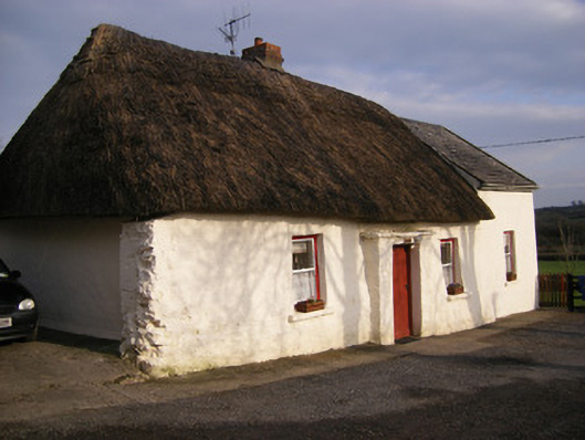 Highstreethouse · 1006 yd
 ToberagaddySpring · 1.1 mi
 (Site of) Castle ClugginCastle, unclassified · 1.1 mi
 Kilduff CastleCastle · 1.2 mi
 KnockseefinMountain / peak · 2.5 mi
 Oola HillMountain / peak · 3.1 mi
 St. Patrick's WellSpring · 4.7 mi
 Graveyard in AbingtonGraveyard · 7.0 mi
 Flat cemetery in Knockainy WestFlat cemetery · 8.8 mi