
What is recorded here
In rough wet pasture, on the E bank of the Reask River, which forms the townland boundary with Knockballyfookeen. Annotated ‘Cross Tuck Mills’ and depicted on the 1840 ed. OS 6-inch map as four rectangular-shaped buildings. This mill may have been built on the site of a watermill depicted on the 1657 Down Survey map of Coonagh Barony (Hib. Reg.). The 1654-56 Civil Survey of Limerick recorded that there stood in 'Both Crosses half a plowl[and] with a Mill in repaire thereunto belonginge whereof Sr Morish Hurllie of Killduffe is proprietor' (Simington 1938, 22).
Surveyed by the ASI in 2008 and described as a cluster of four rectangular-shaped buildings on the E bank of the river. A small, poorly preserved rubble stone structure with a lean-to corrugated roof is similar in size and plan form to the N most building depicted on OS maps. Other existing buildings consist of an outhouse (long-axis NW-SE) directly to SE. A two-storey farmhouse (long-axis NW-SE) is visible to ESE and represents the long E most structure depicted ont he OS map. A small, almost square-shaped structure between the outhouse and farmhouse is a single-storey rubble stone building covered in ivy. It has a lean-to style corrugated roof with a door opening to NW. A second, standalone outhouse is visible to SW of the farmhouse. According to local information, a building known as ‘Chucky’s Mill’ was demolished at least 70 years ago. Area of watermill is obscured by tree cover on Google Earth orthoimages taken 18/11/2018. All of the the upstanding buildings date from the post-1700 period and there is no evidence that they were built on the site of the mill depicted on the 17th century Down Survey map of Coonagh barony.
See attached Google Earth orthoimage.
Compiled by: Alison McQueen and Vera Rahilly
Date of upload: 21 July 2020
The monument record does not grant public access. Check the route and ask the landowner before entering private land.
- What survives
- Recorded monument
Places near here
 BarrowBarrow, ring-barrow · 426 yd
 Enclosure in Cross (coonagh By.)Enclosure · 569 yd
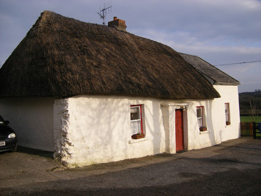 Highstreethouse · 620 yd
 ToberagaddySpring · 1470 yd
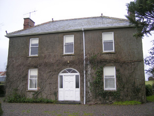 Foxfieldhouse · 1681 yd
 Kilduff CastleCastle · 1691 yd
 Kilduff Castle (in ruins)Castle, tower house · 1694 yd
 KnockseefinMountain / peak · 2.2 mi
 Oola HillMountain / peak · 3.2 mi
 St. Patrick's WellSpring · 4.3 mi
 Flat cemetery in Knockainy WestFlat cemetery · 8.5 mi
 RathbaunArchaeological place · 1038 yd
Other information
Photo: Credit not shown in the picture search · Rights wording not checked; contact us if this picture should be removed