
What is recorded here
In pasture, on N-facing slope, 87m SE of Reask River which marks townland boundary with Brackyle and 105m E of townland boundary with Knockballyfookeen. A possible enclosure (LI024-170----) lies 70m to NE, three barrows (LI024-058001/002-; LI024-292----/293----), enclosure (LI024-058004-) and earthwork (LI024-058002-) lie 264m to SE. The westernmost ring-barrow of a cluster of five ring-barrows (LI024-171002-/005-). Identified by the Bruff aerial photographic survey in 1986 (Bruff 106 (1); AP 4/3676) as a small circular cropmark of a possible ring-barrow. Faint trace of cropmark visible on OSi orthophoto taken 2005-2012, not visible on the Google Earth orthoimage taken 18/11/2018.
See attached Bruff survey image showing cropmark labelled Bruff 106(1)
Compiled by: Fiona Rooney
Date of upload: 22 July 2020
A ring-barrow, likely dating to the Early Bronze Age; its location among multiple barrows suggests a ceremonial or burial landscape of regional significance.
The monument record does not grant public access. Check the route and ask the landowner before entering private land.
- What survives
- Recorded monument
Places near here
 Enclosure in Cross (coonagh By.)Enclosure · 294 yd
 Cross Tuck MillsWater mill, unclassified · 426 yd
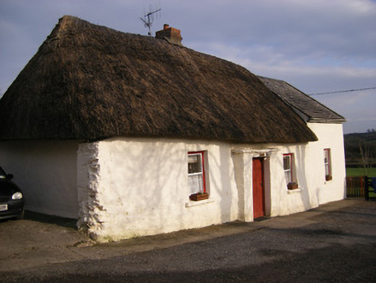 Highstreethouse · 605 yd
 RathbaunArchaeological place · 1371 yd
 ToberagaddySpring · 1471 yd
 Kilduff CastleCastle · 1687 yd
 Kilduff Castle (in ruins)Castle, tower house · 1689 yd
 KnockseefinMountain / peak · 2.3 mi
 Oola HillMountain / peak · 3.3 mi
 St. Patrick's WellSpring · 4.5 mi
 Graveyard in AbingtonGraveyard · 6.8 mi
 Flat cemetery in Knockainy WestFlat cemetery · 8.7 mi
Other information
Photo: Credit not shown in the picture search · Rights wording not checked; contact us if this picture should be removed